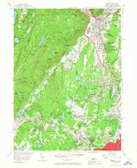
1955 Map of Ramsey
USGS Topo · Published 1968About this map
The Ramapo Mountains dominate the western portion of this mid-century New Jersey landscape, creating a dramatic backdrop for the growing suburban corridor of Bergen County. This map documents a period of significant institutional expansion, anchored by the Immaculate Conception Seminary in Darlington and the Don Bosco Institute near Ramsey. While the valley floor shows increasing density around Mahwah, Waldwick, and Wyckoff, the high ground remains characterized by rugged ridges like Houvenkopf Mountain and Campgaw Mountain. The Erie RR and the Thruway define the primary transit arteries through Suffern and Hillburn, facilitating the shift from rural estates and gravel pits to residential communities. Numerous private camps and estates, such as Camp Yaw Paw and the Havemeyer Reservoir, suggest a legacy of recreation and land preservation alongside the expanding towns.
Find a feature on this map
146 named features on this map. Tap any name to fly to it.
Don’t see what you’re looking for? This feature index may not catch every label — zoom into the map to look around manually.
Map Details
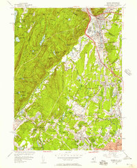
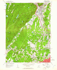
Editions of this 1955 Ramsey Map
Other maps of this area

1888 · Morristown
USGS Topo · 1:62,500

1888 · Paterson
USGS Topo · 1:62,500

1891 · Greenwood Lake
USGS Topo · 1:62,500

1891 · Ramapo
USGS Topo · 1:62,500

1892 · Paterson
USGS Topo · 1:62,500

1893 · Greenwood Lake
USGS Topo · 1:62,500

1893 · Ramapo
USGS Topo · 1:62,500

1894 · Morristown
USGS Topo · 1:62,500

1898 · Morristown
USGS Topo · 1:62,500

1898 · Paterson
USGS Topo · 1:62,500