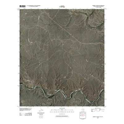
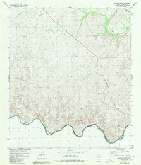
2010 Map of Ramsey Canyon
USGS Topo · Published 2010About this map
The Rio Grande serves as the international boundary between the United States and Mexico in this high-desert reach of the borderlands. Multiple historic crossings, including Cave Crossing, Rock Crossing, and Soldado Crossing, are charted along the river's winding path as it enters the upper reaches of the Amistad Reservoir. These transit points underscore the area's history of movement across the river before modern water management altered the flow.
Find a feature on this map
16 named features on this map. Tap any name to fly to it.
Don’t see what you’re looking for? This feature index may not catch every label — zoom into the map to look around manually.
Map Details
Editions of this 2010 Ramsey Canyon Map
This is the sole edition of this map. No revisions or reprints were ever made.
Other maps of this area

1943 · Malvado
USGS Topo · 1:62,500

1943 · Langtry
USGS Topo · 1:62,500

1944 · Malvado
USGS Topo · 1:62,500

1958 · Del Rio
USGS Topo · 1:250,000

1964 · Del Rio
USGS Topo · 1:250,000

1973 · Langtry
USGS Topo · 1:24,000
1973 · Harkell Canyon
USGS Topo · 1:24,000
1979 · Lozier Canyon North
USGS Topo · 1:24,000
1979 · Lozier Canyon South
USGS Topo · 1:24,000
1980 · Ramsey Canyon
USGS Topo · 1:24,000