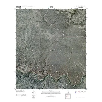
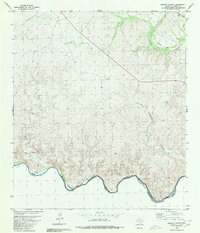
2013 Map of Ramsey Canyon
USGS Topo · Published 2013About this map
The Rio Grande defines the southern reach of this landscape, carving a serpentine path that serves as a focal point for movement and settlement along the border. Known river landmarks like Rock Crossing and Soldado Crossing indicate historical points of transit across the water, where the terrain relents enough to permit passage. This 2013 survey illustrates a sparsely populated ranching territory, where vast stretches of land are anchored by family-named holdings such as Fisher Ranch, Hamilton Ranch, Davis Ranch, and Babb Ranch.
Find a feature on this map
12 named features on this map. Tap any name to fly to it.
Don’t see what you’re looking for? This feature index may not catch every label — zoom into the map to look around manually.
Map Details
Editions of this 2013 Ramsey Canyon Map
This is the sole edition of this map. No revisions or reprints were ever made.
Other maps of this area

1943 · Malvado
USGS Topo · 1:62,500

1943 · Langtry
USGS Topo · 1:62,500

1944 · Malvado
USGS Topo · 1:62,500

1958 · Del Rio
USGS Topo · 1:250,000

1964 · Del Rio
USGS Topo · 1:250,000

1973 · Langtry
USGS Topo · 1:24,000
1973 · Harkell Canyon
USGS Topo · 1:24,000
1979 · Lozier Canyon North
USGS Topo · 1:24,000
1979 · Lozier Canyon South
USGS Topo · 1:24,000
1980 · Ramsey Canyon
USGS Topo · 1:24,000