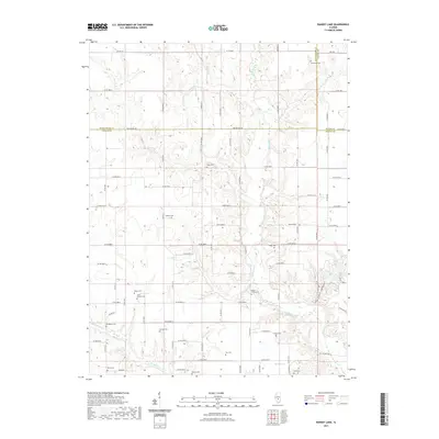
2021 Map of Ramsey Lake
USGS Topo · Published 2021About this map
The tri-county border of Montgomery, Shelby, and Fayette counties forms the central geometry of this landscape, where the rectilinear rural road system meets the meandering drainage of Ramsey Cr and its many tributaries. The area is exceptionally dense with burial sites that trace the region's genealogical history, including Tennessee Cem, New Bethel Cem, and Stokes Cem.
Find a feature on this map
64 named features on this map. Tap any name to fly to it.
Don’t see what you’re looking for? This feature index may not catch every label — zoom into the map to look around manually.
Map Details
Editions of this 2021 Ramsey Lake Map
This is the sole edition of this map. No revisions or reprints were ever made.
Other maps of this area

1944 · Ramsey
USGS Topo · 1:62,500

1946 · Ramsey
USGS Topo · 1:62,500

1946 · Nokomis
USGS Topo · 1:62,500

1947 · Pana
USGS Topo · 1:62,500

1947 · Hillsboro
USGS Topo · 1:62,500

1949 · Hillsboro
USGS Topo · 1:62,500

1949 · Nokomis
USGS Topo · 1:62,500

1949 · Pana
USGS Topo · 1:62,500

1958 · Decatur
USGS Topo · 1:250,000

1961 · Decatur
USGS Topo · 1:250,000