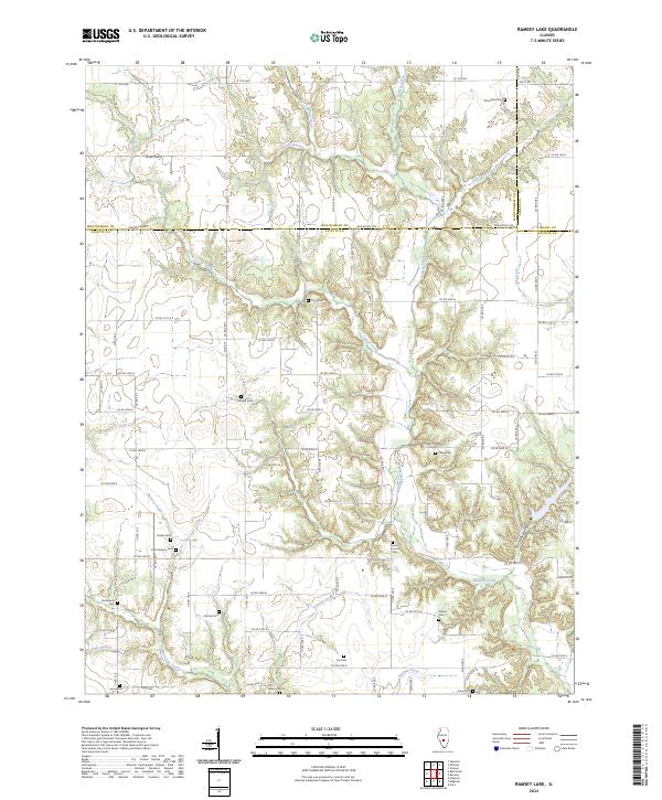
2024 Map of Ramsey Lake
USGS Topo · Published 2024About this map
The rolling hills and wooded draws of the Fayette County borderlands are defined by a dense network of family-named cemeteries and narrow watercourses. This landscape, situated at the meeting point of Montgomery, Shelby, and Fayette counties, is deeply dissected by drainages like Caesar Creek, Ramsey Creek, and Little Hickory Creek. The settlement pattern follows the high ground between these drainages, with a meticulous grid of county roads such as New Bethel Ave and Co Rd 3000 N providing access to isolated farmsteads and rural burial grounds. Genealogists will find particular value in the numerous small cemeteries scattered across the township, including Tennessee Cem, Stokes Cem, and the Donaldson Cemetery. These sites, often located near local landmarks like Fox Hunt Hollow or Gamble Branch, suggest a long-established rural community where family roots remain physically anchored to the land.
Find a feature on this map
59 named features on this map. Tap any name to fly to it.
Don’t see what you’re looking for? This feature index may not catch every label — zoom into the map to look around manually.
Map Details
Editions of this 2024 Ramsey Lake Map
This is the sole edition of this map. No revisions or reprints were ever made.
Other maps of this area

1944 · Ramsey
USGS Topo · 1:62,500

1946 · Ramsey
USGS Topo · 1:62,500

1946 · Nokomis
USGS Topo · 1:62,500

1947 · Pana
USGS Topo · 1:62,500

1947 · Hillsboro
USGS Topo · 1:62,500

1949 · Hillsboro
USGS Topo · 1:62,500

1949 · Nokomis
USGS Topo · 1:62,500

1949 · Pana
USGS Topo · 1:62,500

1958 · Decatur
USGS Topo · 1:250,000

1961 · Decatur
USGS Topo · 1:250,000