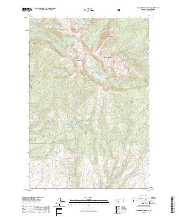
2024 Map of Ramshorn Mountain
USGS Topo · Published 2024About this map
The high peaks of the Tobacco Root Mountains dominate this survey of Madison County, where steep drainage basins feed into a complex network of alpine creeks. Central to the landscape is Ramshorn Mtn, surrounded by other significant heights such as South Baldy Mtn, Porphyry Mtn, and Ward Peak. Within the Beaverhead National Forest, the terrain is marked by remote water bodies like Cliff Lake and McKelvey Lake tucked beneath Kid Mtn.
Find a feature on this map
45 named features on this map. Tap any name to fly to it.
Don’t see what you’re looking for? This feature index may not catch every label — zoom into the map to look around manually.
Map Details
Editions of this 2024 Ramshorn Mountain Map
This is the sole edition of this map. No revisions or reprints were ever made.
Other maps of this area

1888 · Three Forks
USGS Topo · 1:250,000

1893 · Dillon
USGS Topo · 1:250,000

1894 · Three Forks
USGS Topo · 1:250,000

1895 · Three Forks
USGS Topo · 1:250,000

1947 · Bozeman
USGS Topo · 1:250,000

1948 · Bozeman
USGS Topo · 1:250,000

1950 · Harrison
USGS Topo · 1:62,500

1950 · Virginia City
USGS Topo · 1:62,500

1955 · Bozeman
USGS Topo · 1:250,000

1955 · Dillon
USGS Topo · 1:250,000