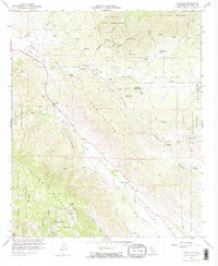
1960 Map of Ranchita
USGS Topo · Published 1967About this map
Montezuma Valley serves as the central corridor for this 1960s study, where the small settlement of Ranchita sits along Montezuma Road. The landscape is defined by its water sources and heritage sites, from the Montezuma Mine tucked near Buck Canyon to the Montezuma Honor Camp located further south. Native American lands figure prominently, with portions of the Los Coyotes Indian Reservation and Santa Ysabel Indian Reservation meeting the high desert terrain.
Find a feature on this map
48 named features on this map. Tap any name to fly to it.
Don’t see what you’re looking for? This feature index may not catch every label — zoom into the map to look around manually.
Map Details
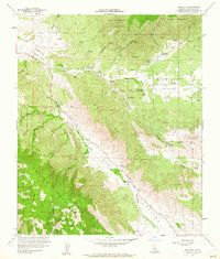
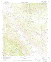
Editions of this 1960 Ranchita Map
3 editions found
Other maps of this area

1903 · Ramona
USGS Topo · 1:125,000

1904 · Indio
USGS Topo · 1:125,000

1904 · Southern California Sheet No. 2
USGS Topo · 1:250,000

1931 · Vallecito
USGS Topo · 1:125,000

1939 · Warner Springs
USGS Topo · 1:62,500

1939 · Santa Ysabel
USGS Topo · 1:62,500

1939 · Borrego
USGS Topo · 1:62,500

1941 · Clark Lake
USGS Topo · 1:62,500

1942 · Clark Lake
USGS Topo · 1:62,500

1942 · Borego
USGS Topo · 1:62,500