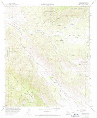
1960 Map of Ranchita
USGS Topo · Published 1967About this map
Montezuma Valley and the surrounding high desert terrain define this 1960 field-checked survey of northeastern San Diego County. The settlement of Ranchita sits at the junction of Montezuma Road, while the smaller outpost of San Felipe is positioned further west along the San Felipe Road. This map documents a landscape of transition, where the Volcan Mountains and Grapevine Hills meet the western edge of Anza-Borrego Desert State Park.
Find a feature on this map
47 named features on this map. Tap any name to fly to it.
Don’t see what you’re looking for? This feature index may not catch every label — zoom into the map to look around manually.
Map Details
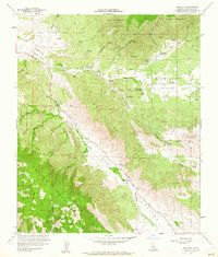
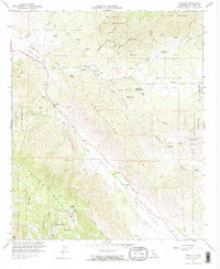
Editions of this 1960 Ranchita Map
3 editions found
Other maps of this area

1903 · Ramona
USGS Topo · 1:125,000

1904 · Indio
USGS Topo · 1:125,000

1904 · Southern California Sheet No. 2
USGS Topo · 1:250,000

1931 · Vallecito
USGS Topo · 1:125,000

1939 · Warner Springs
USGS Topo · 1:62,500

1939 · Santa Ysabel
USGS Topo · 1:62,500

1939 · Borrego
USGS Topo · 1:62,500

1941 · Clark Lake
USGS Topo · 1:62,500

1942 · Clark Lake
USGS Topo · 1:62,500

1942 · Borego
USGS Topo · 1:62,500