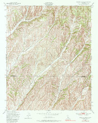
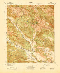
1948 Map of Ranchito Canyon
USGS Topo · Published 1980About this map
Monterey and San Luis Obispo counties meet in this 1948 survey of a deeply etched drainage system. The terrain is dominated by a series of long, parallel valleys including Ranchito Canyon, Hog Canyon, and Beard Canyon. Settlement is sparse in this period, marked by isolated rural outposts and the Ellis Sch in the northeastern reaches. Throughout the landscape, numerous Windmills signify the reliance on groundwater to support the ranches scattered between Lowes Canyon and Ranch Canyon. The map reveals a highly specialized agricultural landscape where roads are limited to the canyon floors, following the natural contours of the Central Coast ranges.
Find a feature on this map
8 named features on this map. Tap any name to fly to it.
Don’t see what you’re looking for? This feature index may not catch every label — zoom into the map to look around manually.
Map Details
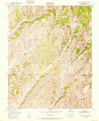
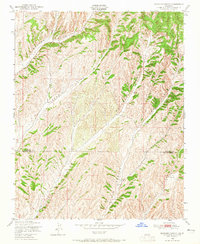
Editions of this 1948 Ranchito Canyon Map
3 editions found
Other maps of this area

1914 · Cholame
USGS Topo · 1:125,000

1915 · Cholame
USGS Topo · 1:125,000

1917 · Cholame
USGS Topo · 1:125,000

1919 · San Miguel
USGS Topo · 1:62,500

1919 · Paso Robles
USGS Topo · 1:62,500

1942 · Parkfield
USGS Topo · 1:24,000

1943 · Shandon
USGS Topo · 1:31,680

1943 · Paso Robles
USGS Topo · 1:62,500
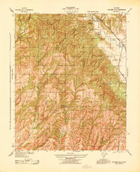
1943 · Cholame Hills
USGS Topo · 1:31,680
1943 · Parkfield
USGS Topo · 1:31,680