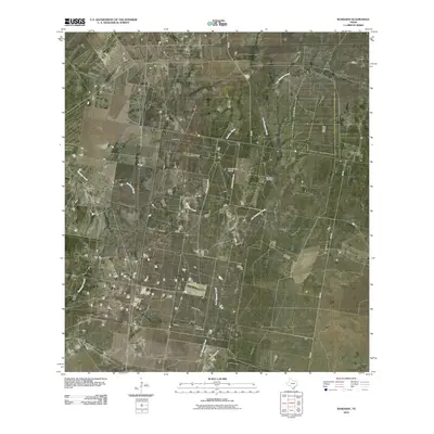
2010 Map of Randado
USGS Topo · Published 2010About this map
Randado and Escobas Ranch anchor this corner of South Texas, where the landscape is defined by the intersection of ranching traditions and the energy industry. The terrain is marked by seasonal drainages such as Los Tanques Creek and Escobas Creek, which traverse a region dominated by oil production. Key industrial landmarks like the Randado Oil Field and the South Manila Oil Field illustrate the subsurface economic activity that has long shaped the area's development. Transportation through this rural landscape relies on a network of ranch roads, including Rancho Blanco Rd and La Violeta Rd, leading to remote outposts and the Zachry Ranch Airport. The presence of these named ranching features and oil fields provides a clear picture of the land use patterns in Zapata County during the early 21st century.
Find a feature on this map
12 named features on this map. Tap any name to fly to it.
Don’t see what you’re looking for? This feature index may not catch every label — zoom into the map to look around manually.
Map Details
Editions of this 2010 Randado Map
This is the sole edition of this map. No revisions or reprints were ever made.
Other maps of this area

1938 · Cuevitas
USGS Topo · 1:62,500

1939 · Randado
USGS Topo · 1:62,500

1940 · Randado
USGS Topo · 1:62,500

1940 · Mogotes Hill
USGS Topo · 1:62,500

1949 · Mc Allen
USGS Topo · 1:250,000

1954 · McAllen
USGS Topo · 1:250,000

1956 · Mogotes Hill
USGS Topo · 1:62,500

1956 · Arroyo Clareno
USGS Topo · 1:62,500

1956 · Laredo
USGS Topo · 1:250,000

1957 · Mc Allen
USGS Topo · 1:250,000