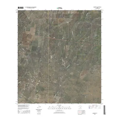
2016 Map of Randado
USGS Topo · Published 2016About this map
Randado sits at a crossroads in the South Texas brush country, serving as a primary point of reference along the boundary between Zapata Co and Jim Hogg Co. This landscape is defined by its drainage systems, including the seasonally active Escobas Cr, Los Tanques Cr, and Fandango Cr. The map reveals a rural network of ranching roads such as Rancho Blanco Rd, Zachary Ranch Rd, and La Violetta Rd, which branch off from the established FM 649. The sparse distribution of settlements suggests a region dedicated to traditional land use, where geographic features like named creeks and family ranch roads provide the most significant landmarks for local history and property research.
Find a feature on this map
9 named features on this map. Tap any name to fly to it.
Don’t see what you’re looking for? This feature index may not catch every label — zoom into the map to look around manually.
Map Details
Editions of this 2016 Randado Map
This is the sole edition of this map. No revisions or reprints were ever made.
Other maps of this area

1938 · Cuevitas
USGS Topo · 1:62,500

1939 · Randado
USGS Topo · 1:62,500

1940 · Randado
USGS Topo · 1:62,500

1940 · Mogotes Hill
USGS Topo · 1:62,500

1949 · Mc Allen
USGS Topo · 1:250,000

1954 · McAllen
USGS Topo · 1:250,000

1956 · Mogotes Hill
USGS Topo · 1:62,500

1956 · Arroyo Clareno
USGS Topo · 1:62,500

1956 · Laredo
USGS Topo · 1:250,000

1957 · Mc Allen
USGS Topo · 1:250,000