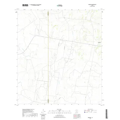
2019 Map of Randado
USGS Topo · Published 2019About this map
Randado serves as the primary landmark in this South Texas landscape, situated at the eastern edge of the survey area where the boundary between Zapata and Jim Hogg counties is defined. The terrain is characterized by a network of intermittent waterways, including the winding paths of Escobas Cr, Los Tanques Cr, and Fandango Cr. These drainages shape the local geography, reflecting the arid environment of the Brush Country. A sparse network of rural roads such as Rancho Blanco Rd, Zachary Ranch Rd, and La Violeta Rd connect scattered ranching interests, highlighting the low-density settlement patterns typical of the region in the early twenty-first century. This topography shows the vital connection between water access and land use in this part of the state, anchored by the passage of FM 649.
Find a feature on this map
9 named features on this map. Tap any name to fly to it.
Don’t see what you’re looking for? This feature index may not catch every label — zoom into the map to look around manually.
Map Details
Editions of this 2019 Randado Map
This is the sole edition of this map. No revisions or reprints were ever made.
Other maps of this area

1938 · Cuevitas
USGS Topo · 1:62,500

1939 · Randado
USGS Topo · 1:62,500

1940 · Randado
USGS Topo · 1:62,500

1940 · Mogotes Hill
USGS Topo · 1:62,500

1949 · Mc Allen
USGS Topo · 1:250,000

1954 · McAllen
USGS Topo · 1:250,000

1956 · Mogotes Hill
USGS Topo · 1:62,500

1956 · Arroyo Clareno
USGS Topo · 1:62,500

1956 · Laredo
USGS Topo · 1:250,000

1957 · Mc Allen
USGS Topo · 1:250,000