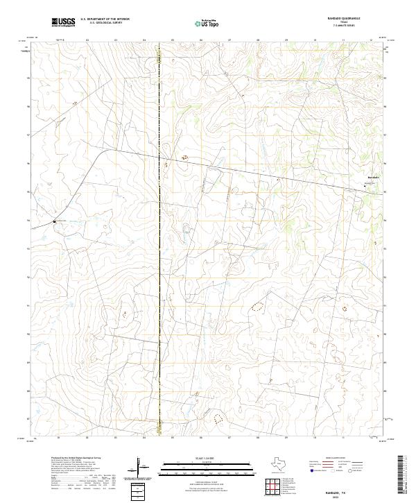
2022 Map of Randado
USGS Topo · Published 2022About this map
Randado serves as the primary focal point of this South Texas landscape, situated at the intersection of local ranch roads in eastern Jim Hogg County. The area is defined by a series of intermittent drainages including Los Tanques Cr, Escobas Cr, and Fandango Cr, which carve subtle patterns through the terrain. Evidence of long-standing ranching heritage is visible through the naming of local thoroughfares such as Rancho Blanco Rd and Zachary Ranch Rd, which connect the scattered homesteads of the brush country. Family and community history is preserved at the Randado Cem and Escobas Cem, providing essential points of interest for genealogists researching the residents of this rural borderlands region. The map also illustrates the administrative boundary between Zapata and Jim Hogg counties, showing how modern county lines bisect the historical ranching tracts.
Find a feature on this map
11 named features on this map. Tap any name to fly to it.
Don’t see what you’re looking for? This feature index may not catch every label — zoom into the map to look around manually.
Map Details
Editions of this 2022 Randado Map
This is the sole edition of this map. No revisions or reprints were ever made.
Other maps of this area

1938 · Cuevitas
USGS Topo · 1:62,500

1939 · Randado
USGS Topo · 1:62,500

1940 · Randado
USGS Topo · 1:62,500

1940 · Mogotes Hill
USGS Topo · 1:62,500

1949 · Mc Allen
USGS Topo · 1:250,000

1954 · McAllen
USGS Topo · 1:250,000

1956 · Mogotes Hill
USGS Topo · 1:62,500

1956 · Arroyo Clareno
USGS Topo · 1:62,500

1956 · Laredo
USGS Topo · 1:250,000

1957 · Mc Allen
USGS Topo · 1:250,000