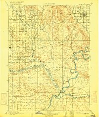
1964 Map of Randlett
USGS Topo · Published 1966About this map
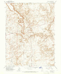
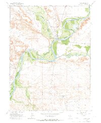
Randlett and the surrounding river bottoms of the Uintah Basin are defined by an intricate network of irrigation systems and natural waterways in this mid-1960s Bureau of Reclamation study. The confluence of the Uinta River and the Duchesne River anchors the geography, while man-made features like the Ouray School Canal, Leland Canal, and Myton Townsite Canal indicate the vital role of water management for local agriculture and the Ouray School.
Find a feature on this map
16 named features on this map. Tap any name to fly to it.
Don’t see what you’re looking for? This feature index may not catch every label — zoom into the map to look around manually.
Map Details
Editions of this 1964 Randlett Map
This is the sole edition of this map. No revisions or reprints were ever made.
Other maps of this area

1885 · Ashley
USGS Topo · 1:250,000
1917 · Vernal
USGS Topo · 1:125,000

1954 · Vernal
USGS Topo · 1:250,000

1958 · Vernal
USGS Topo · 1:250,000

1960 · Vernal
USGS Topo · 1:250,000
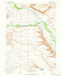
1964 · Fort Duchesne
USGS Topo · 1:24,000
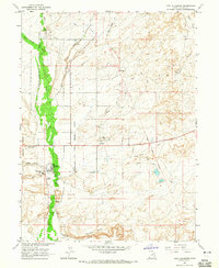
1964 · Windy Ridge
USGS Topo · 1:24,000
1964 · Vernal SW
USGS Topo · 1:24,000
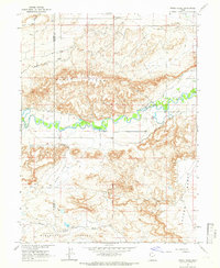
1964 · Ouray
USGS Topo · 1:24,000
1964 · Pelican Lake
USGS Topo · 1:24,000