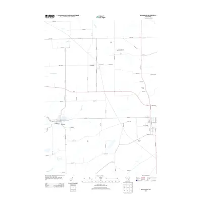
2013 Map of Randolph
USGS Topo · Published 2013About this map
Cambria and Randolph anchor the southern portion of this landscape, situated near the headwaters of N Br Duck Cr and Middle Br Duck Cr. The terrain is defined by a dense network of county and local roads, illustrating the area's agricultural productivity and the enduring presence of named family operations such as Alsum Farms, Retzlaff Farm, and Diamond S Dairy. The village of Friesland and the smaller community of East Friesland sit to the north, connected by routes like E Friesland Rd and N Madison St.
Find a feature on this map
68 named features on this map. Tap any name to fly to it.
Don’t see what you’re looking for? This feature index may not catch every label — zoom into the map to look around manually.
Map Details
Editions of this 2013 Randolph Map
This is the sole edition of this map. No revisions or reprints were ever made.
Other maps of this area

1955 · Randolph
USGS Topo · 1:62,500

1955 · Columbus
USGS Topo · 1:62,500

1955 · Beaver Dam
USGS Topo · 1:62,500

1955 · Fox Lake
USGS Topo · 1:62,500

1957 · Madison
USGS Topo · 1:250,000

1960 · Madison
USGS Topo · 1:250,000

1980 · Fond Du Lac
USGS Topo · 1:100,000

1980 · Lost Lake
USGS Topo · 1:24,000
1980 · Manchester
USGS Topo · 1:24,000
1980 · Rio
USGS Topo · 1:24,000