
1980 Map of Lost Lake
USGS Topo · Published 1980About this map
Beaver Dam Lake dominates the northeastern corner of this Dodge County landscape, characterized by its irregular shoreline and numerous named islands such as Middle Island and Millers Island. The surrounding agricultural countryside is meticulously divided by a grid of rural routes like Lost Lake Road and Salem Road, connecting small clusters of habitation and community landmarks. The Chicago and North Western railroad cuts a diagonal path across the terrain, reflecting the vital transport infrastructure of the late 20th century.
Find a feature on this map
62 named features on this map. Tap any name to fly to it.
Don’t see what you’re looking for? This feature index may not catch every label — zoom into the map to look around manually.
Map Details
Editions of this 1980 Lost Lake Map
This is the sole edition of this map. No revisions or reprints were ever made.
Other maps of this area

1955 · Randolph
USGS Topo · 1:62,500

1955 · Columbus
USGS Topo · 1:62,500

1955 · Beaver Dam
USGS Topo · 1:62,500

1955 · Fox Lake
USGS Topo · 1:62,500

1957 · Madison
USGS Topo · 1:250,000

1960 · Madison
USGS Topo · 1:250,000

1975 · Beaver Dam NE
USGS Topo · 1:24,000

1980 · Fond Du Lac
USGS Topo · 1:100,000
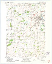
1980 · Columbus
USGS Topo · 1:24,000
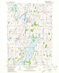
1980 · Reeseville
USGS Topo · 1:24,000