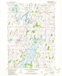
1980 Map of Reeseville
USGS Topo · Published 1981About this map
Lowell and Reeseville serve as the primary hubs in this agricultural landscape, situated along the winding course of the Beaver River. The 1980 survey illustrates a region defined by its reliance on both water and rail, with the Chicago and North Western and the Chicago Milwaukee St Paul and Pacific railroads cutting through the townships. Extensive marshlands and hydrologic features dominate the southern portion of the sheet, most notably within the Mud Lake State Wildlife Area and around Mud Lake.
Find a feature on this map
42 named features on this map. Tap any name to fly to it.
Don’t see what you’re looking for? This feature index may not catch every label — zoom into the map to look around manually.
Map Details
Editions of this 1980 Reeseville Map
This is the sole edition of this map. No revisions or reprints were ever made.
Other maps of this area

1891 · Waterloo
USGS Topo · 1:62,500

1892 · Watertown
USGS Topo · 1:62,500

1894 · Waterloo
USGS Topo · 1:62,500

1894 · Watertown
USGS Topo · 1:62,500

1910 · Waterloo
USGS Topo · 1:62,500

1955 · Beaver Dam
USGS Topo · 1:62,500

1955 · Horicon
USGS Topo · 1:62,500

1957 · Madison
USGS Topo · 1:250,000
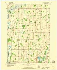
1959 · Richwood
USGS Topo · 1:24,000
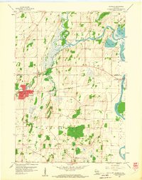
1959 · Waterloo
USGS Topo · 1:24,000