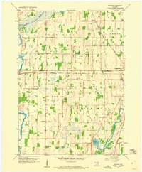
1959 Map of Richwood
USGS Topo · Published 1960About this map
Richwood serves as a focal point in this mid-century portrait of the Wisconsin agricultural landscape, situated along the Chicago Milwaukee ST Paul And Pacific railroad. The map documents a dense network of rural infrastructure, particularly the high frequency of one-room schoolhouses like Hickory Grove Sch, Seibel Sch, and North Milford Sch that once anchored these townships. These landmarks, alongside the St Marks Sch and Richwood Cem, offer a detailed look at the social geography of the era.
Find a feature on this map
31 named features on this map. Tap any name to fly to it.
Don’t see what you’re looking for? This feature index may not catch every label — zoom into the map to look around manually.
Map Details
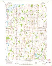
Editions of this 1959 Richwood Map
2 editions found
Other maps of this area

1891 · Waterloo
USGS Topo · 1:62,500

1892 · Watertown
USGS Topo · 1:62,500

1894 · Waterloo
USGS Topo · 1:62,500

1894 · Watertown
USGS Topo · 1:62,500

1910 · Waterloo
USGS Topo · 1:62,500

1955 · Beaver Dam
USGS Topo · 1:62,500

1955 · Horicon
USGS Topo · 1:62,500

1957 · Madison
USGS Topo · 1:250,000
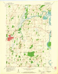
1959 · Waterloo
USGS Topo · 1:24,000
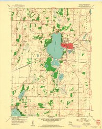
1959 · Lake Mills
USGS Topo · 1:24,000