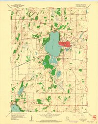
1959 Map of Lake Mills
USGS Topo · Published 1961About this map
Rock Lake serves as the central focal point for this mid-century portrait of Jefferson County, with the city of Lake Mills established along its eastern shore. The landscape is a classic example of Wisconsin's glaciated terrain, characterized by a dense network of small lakes including Hope Lake, Bean Lake, and Mud Lake, interspersed with numerous Gravel Pits and drumlin-like landforms. The local economy and social fabric of the 1950s are visible through the high concentration of rural schoolhouses, such as Stony Brook Sch, Plainview Sch, and Harvey Sch, which remain mapped alongside long-standing local landmarks like Hoopers Mill on the Crawfish River.
Find a feature on this map
37 named features on this map. Tap any name to fly to it.
Don’t see what you’re looking for? This feature index may not catch every label — zoom into the map to look around manually.
Map Details
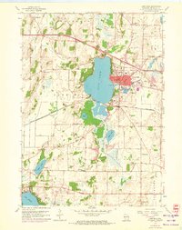
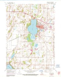
Editions of this 1959 Lake Mills Map
3 editions found
Other maps of this area

1890 · Sun Prairie
USGS Topo · 1:62,500

1890 · Stoughton
USGS Topo · 1:62,500

1891 · Waterloo
USGS Topo · 1:62,500

1891 · Koshkonong
USGS Topo · 1:62,500

1894 · Waterloo
USGS Topo · 1:62,500

1894 · Koshkonong
USGS Topo · 1:62,500

1896 · Sun Prairie
USGS Topo · 1:62,500

1905 · Sun Prairie
USGS Topo · 1:62,500

1906 · Koshkonong
USGS Topo · 1:62,500

1907 · Sun Prairie
USGS Topo · 1:62,500