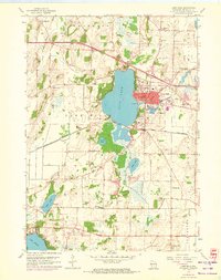
1959 Map of Lake Mills
USGS Topo · Published 1972About this map
Lake Mills anchors this Jefferson County landscape, shown as it transitioned from its mid-century industrial roots toward its modern character as a recreational and residential hub. The town sits prominently east of the expansive Rock Lake, with Lakeside Park and a local Fish Hatchery indicating the community's relationship with the water. The transport and economic infrastructure of the era is clearly marked by the Chicago and North Western railroad line cutting through the region, while the periphery is dotted with evidence of earlier rural life. Numerous localized school districts, such as Stony Brook Sch, Brick Street Sch, and Flanagan Sch, provide a high-resolution look at the distributed settlement patterns of the township before many such institutions were consolidated. To the northeast, the presence of Hoopers Mill along Rock Creek and several Gravel Pits illustrates the local industry and land use that sustained the area through the early 1970s.
Find a feature on this map
35 named features on this map. Tap any name to fly to it.
Don’t see what you’re looking for? This feature index may not catch every label — zoom into the map to look around manually.
Map Details
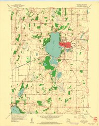
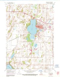
Editions of this 1959 Lake Mills Map
3 editions found
Other maps of this area

1890 · Sun Prairie
USGS Topo · 1:62,500

1890 · Stoughton
USGS Topo · 1:62,500

1891 · Waterloo
USGS Topo · 1:62,500

1891 · Koshkonong
USGS Topo · 1:62,500

1894 · Waterloo
USGS Topo · 1:62,500

1894 · Koshkonong
USGS Topo · 1:62,500

1896 · Sun Prairie
USGS Topo · 1:62,500

1905 · Sun Prairie
USGS Topo · 1:62,500

1906 · Koshkonong
USGS Topo · 1:62,500

1907 · Sun Prairie
USGS Topo · 1:62,500