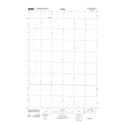
2012 Map of Randolph
USGS Topo · Published 2012About this map
Randolph is the central point of interest in this section of Spink County, marking a small settlement at the northern edge of the map. The landscape is defined by the section-line road grid, where long thoroughfares like 404th Ave and 156th St create a geometric pattern across the agricultural terrain. The primary natural feature breaking this symmetry is Dry Run, a winding watercourse that meanders through the western half of the quadrangle. This intermittent stream bed indicates the drainage patterns of the prairie, providing a stark contrast to the straight-edged precision of the surrounding county roads. For those researching the geography of Tetonka Township, this map illustrates the relationship between the local road network and the natural hydrology of the plains during the early 21st century.
Find a feature on this map
18 named features on this map. Tap any name to fly to it.
Don’t see what you’re looking for? This feature index may not catch every label — zoom into the map to look around manually.
Map Details
Editions of this 2012 Randolph Map
This is the sole edition of this map. No revisions or reprints were ever made.
Other maps of this area

1894 · Conde
USGS Topo · 1:62,500

1895 · Aberdeen
USGS Topo · 1:125,000

1953 · Brentford
USGS Topo · 1:24,000

1953 · Stratford
USGS Topo · 1:24,000

1953 · Groton SW
USGS Topo · 1:24,000

1954 · Ferney
USGS Topo · 1:24,000

1954 · Aberdeen
USGS Topo · 1:250,000

1956 · Aberdeen
USGS Topo · 1:250,000
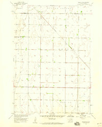
1958 · Randolph
USGS Topo · 1:24,000
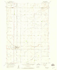
1958 · Conde
USGS Topo · 1:24,000
Featured Places
- Tetonka Township, SD
- La Prairie Township, SD
- Garden Prairie Township, SD
- Randolph, SD
- East Rondell Township, SD