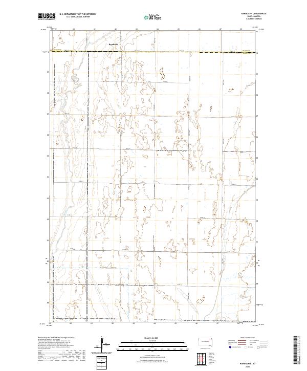
2021 Map of Randolph
USGS Topo · Published 2021About this map
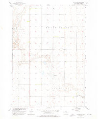
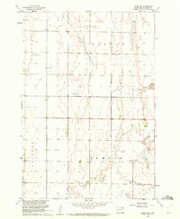
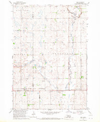
Randolph sits at the northern edge of this landscape along the border of Brown and Spink counties. The terrain is defined by a dense network of seasonal wetlands and prairie potholes characteristic of the Glacial Lake Dakota plain. This area exhibits a distinct lack of concentrated settlement, showing instead a grid of section-line roads such as Co RD 6 and 152nd ST that serve a scattered agricultural community. The presence of Dry Run winding through the western sections highlights the natural drainage patterns that dominate the local geography in this part of South Dakota.
Find a feature on this map
1 named feature on this map. Tap any name to fly to it.
Don’t see what you’re looking for? This feature index may not catch every label — zoom into the map to look around manually.
Map Details
Editions of this 2021 Randolph Map
This is the sole edition of this map. No revisions or reprints were ever made.
Historical Maps of Randolph Through Time
35 maps found
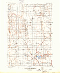
1895 Byron
Spink County, SD
1953 Gallup
Spink County, SD
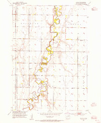
1953 Redfield North
Spink County, SD
1956 Doland SW
Spink County, SD
1956 Lake Byron NW
Spink County, SD
1958 Randolph
Spink County, SD

1960 Athol
Spink County, SD
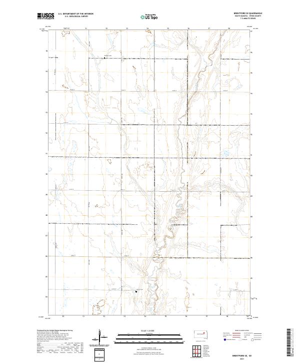
1960 Brentford SE
Spink County, SD
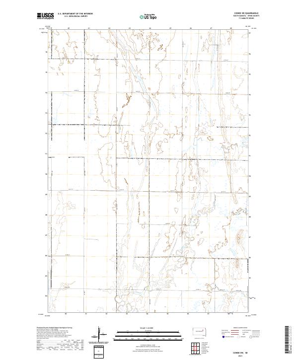
1960 Conde SW
Spink County, SD
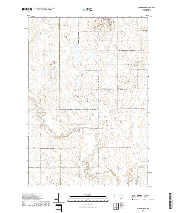
1966 Northville SW
Spink County, SD
1966 Redfield South
Spink County, SD
1966 Redfield SW
Spink County, SD
1966 Zell
Spink County, SD
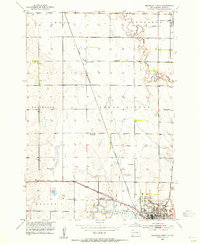
1967 Frankfort SW
Spink County, SD
1967 Tulare NW
Spink County, SD
1971 Bloomfield
Spink County, SD
1971 Doland NW
Spink County, SD
1971 Doland SE
Spink County, SD
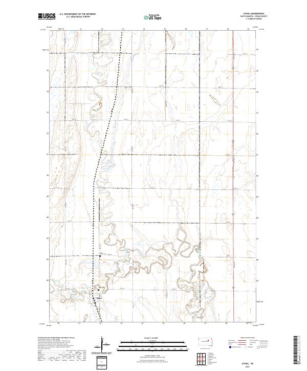
2021 Athol
Spink County, SD
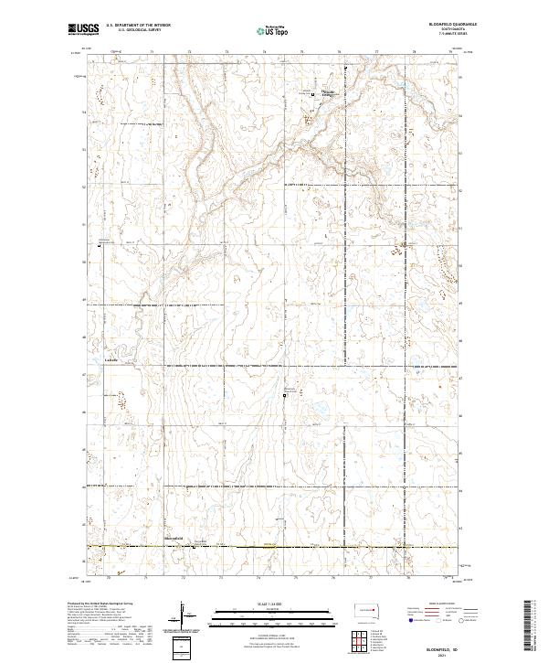
2021 Bloomfield
Spink County, SD
2021 Brentford SE
Spink County, SD
2021 Conde SW
Spink County, SD
2021 Doland NW
Spink County, SD
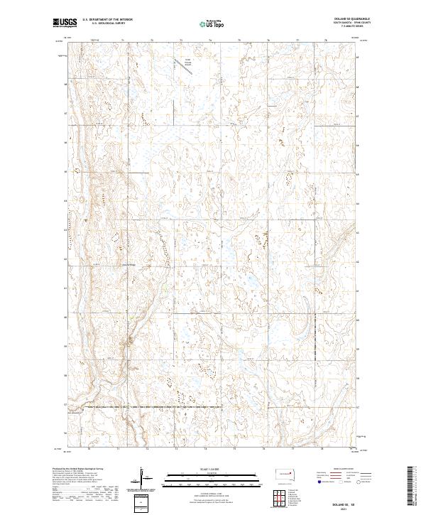
2021 Doland SE
Spink County, SD
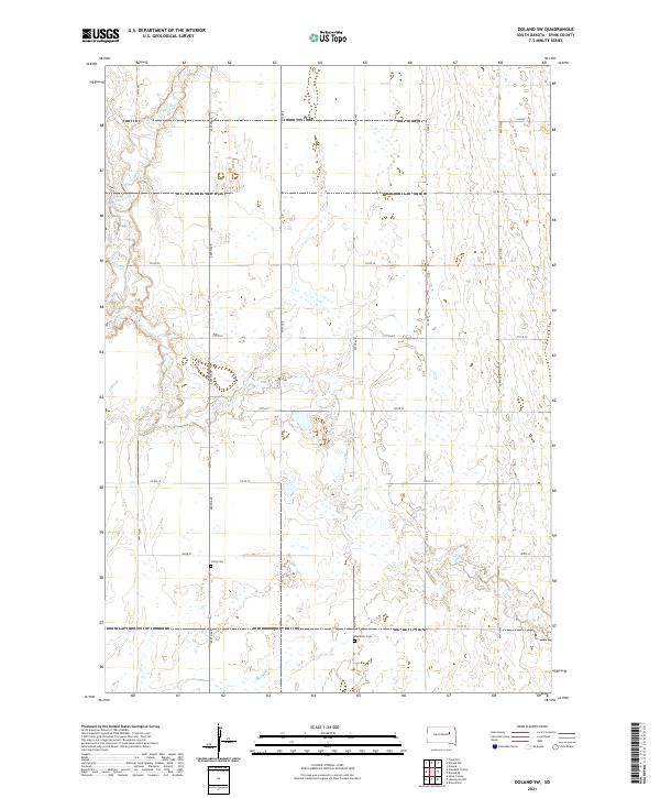
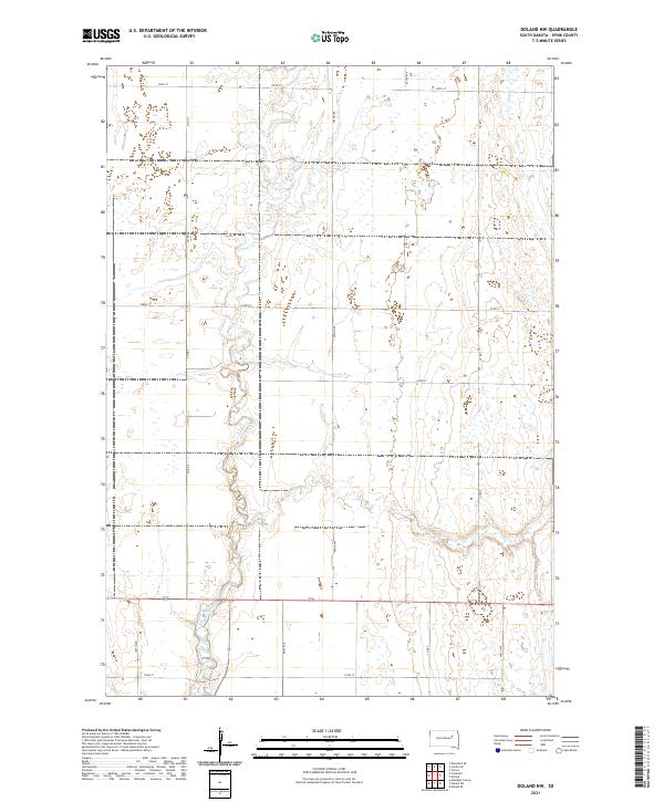
2021 Doland SW
Spink County, SD
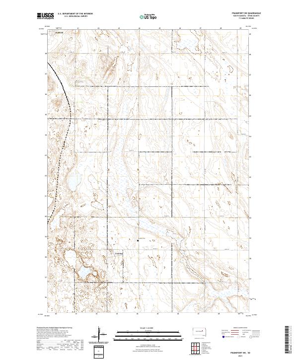
2021 Frankfort SW
Spink County, SD
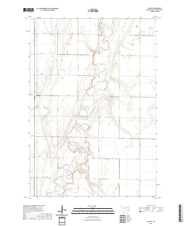
2021 Gallup
Spink County, SD
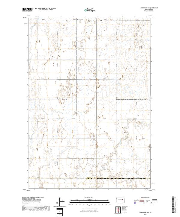
2021 Lake Byron NW
Spink County, SD
2021 Northville SW
Spink County, SD
2021 Randolph
Spink County, SD
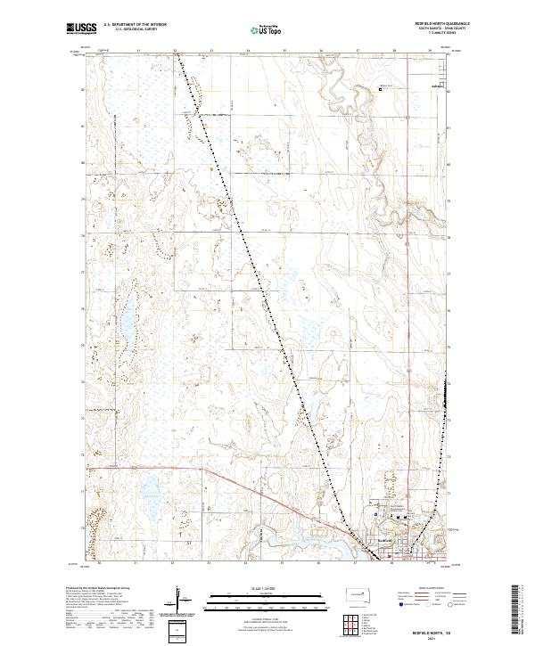
2021 Redfield North
Spink County, SD
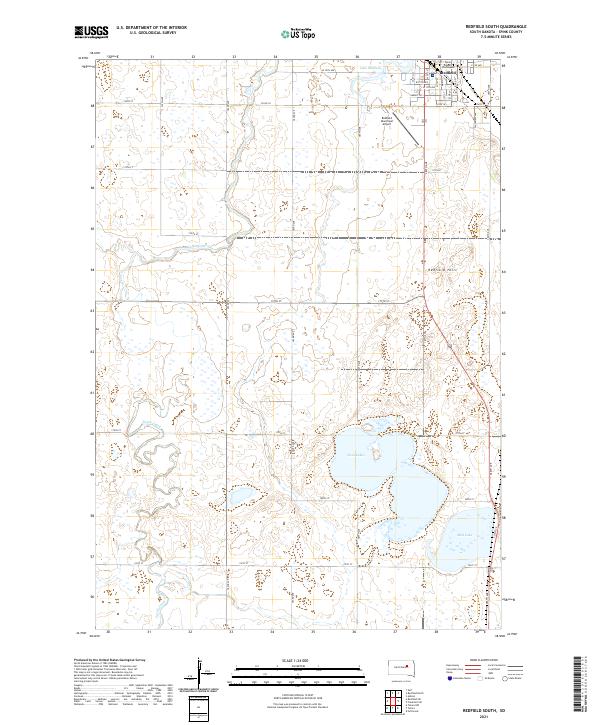
2021 Redfield South
Spink County, SD
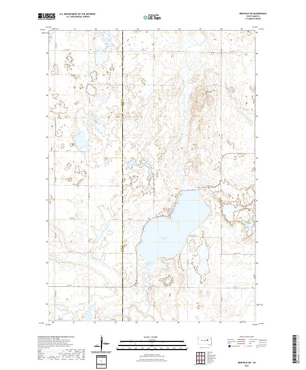
2021 Redfield SW
Spink County, SD
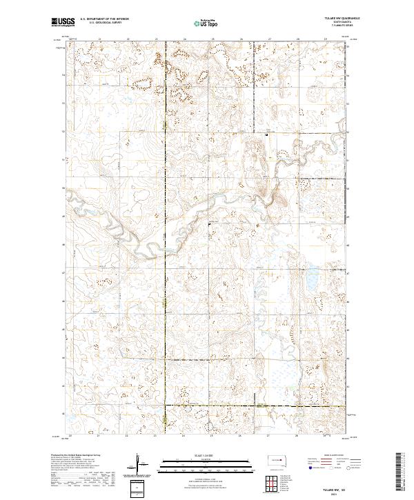
2021 Tulare NW
Spink County, SD
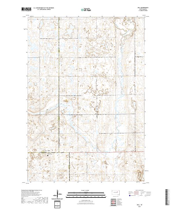
2021 Zell
Spink County, SD
Featured Locations
- East Rondell Township, SD
- Benton Township, SD
- Beotia Township, SD
- La Prairie Township, SD
- Tetonka Township, SD