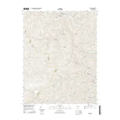
2014 Map of Ranger
USGS Topo · Published 2014About this map
The Guyandotte River carves a deep path through this corner of West Virginia, where the border of Wayne and Lincoln counties follows the high ridges. In the northern reaches, the community of Ranger sits along the riverbanks, connected by the Ranger Beam Span Bridge and surrounded by numerous family burial grounds including Baker Cem and Hatfield Cem. The landscape is defined by its complex drainage network, with Fourteenmile Cr and Aarons Creek feeding into the main river valley.
Find a feature on this map
123 named features on this map. Tap any name to fly to it.
Don’t see what you’re looking for? This feature index may not catch every label — zoom into the map to look around manually.
Map Details
Editions of this 2014 Ranger Map
This is the sole edition of this map. No revisions or reprints were ever made.
Other maps of this area

1887 · Warfield
USGS Topo · 1:125,000

1891 · Warfield
USGS Topo · 1:125,000

1892 · Huntington
USGS Topo · 1:125,000

1898 · Huntington
USGS Topo · 1:125,000

1902 · Midkiff
USGS Topo · 1:62,500

1907 · Midkiff
USGS Topo · 1:62,500

1909 · Wayne
USGS Topo · 1:62,500

1909 · Midkiff
USGS Topo · 1:62,500

1910 · Holden
USGS Topo · 1:48,000

1910 · Naugatuck
USGS Topo · 1:48,000