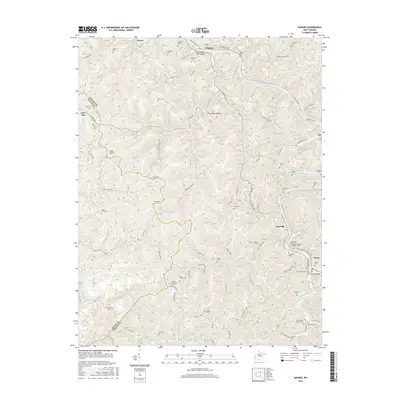
2016 Map of Ranger
USGS Topo · Published 2016About this map
The Guyandotte River carves a winding path through the borderlands of Lincoln and Wayne Counties, anchoring the small settlements of Ranger, Atenville, and Harts. This terrain is characterized by a dense network of hollows and forks, such as Short Bend Hollow and Fourteenmile Creek, which dictate the placement of roads and homesteads. The map reveals a deeply personal geography for local historians, documented through numerous family-named landmarks and resting places like the Saunders Cemetery, Hatfield Cemetery, and the Jones Cemeteries.
Find a feature on this map
124 named features on this map. Tap any name to fly to it.
Don’t see what you’re looking for? This feature index may not catch every label — zoom into the map to look around manually.
Map Details
Editions of this 2016 Ranger Map
This is the sole edition of this map. No revisions or reprints were ever made.
Other maps of this area

1887 · Warfield
USGS Topo · 1:125,000

1891 · Warfield
USGS Topo · 1:125,000

1892 · Huntington
USGS Topo · 1:125,000

1898 · Huntington
USGS Topo · 1:125,000

1902 · Midkiff
USGS Topo · 1:62,500

1907 · Midkiff
USGS Topo · 1:62,500

1909 · Wayne
USGS Topo · 1:62,500

1909 · Midkiff
USGS Topo · 1:62,500

1910 · Holden
USGS Topo · 1:48,000

1910 · Naugatuck
USGS Topo · 1:48,000