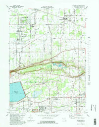
1980 Map of Ransomville
USGS Topo · Published 1980About this map
The Tuscarora Indian Reservation occupies the heart of this Niagara County landscape, situated between the agricultural plains of Porter and the industrial corridors of Wheatfield. The terrain is dramatically defined by a sharp escarpment marked by Lower Mountain Road and Upper Mountain Road, a natural feature that separates the upper elevations from the northern fruit-growing belt. Infrastructure of the Cold War era is evident in the sprawling U S Military Reservation and the presence of the Energy Research and Development Administration near Model City. Local community life is anchored by established settlements like Ransomville and Sanborn, while recreational and industrial history converge at Bond Lake County Park and nearby Quarry Lake. Genealogists will find notable burial grounds including Mt Hope Cem and Mt View Cem preserved alongside the evolving suburban developments of Colonial Village and Falcon Manor.
Find a feature on this map
60 named features on this map. Tap any name to fly to it.
Don’t see what you’re looking for? This feature index may not catch every label — zoom into the map to look around manually.
Map Details
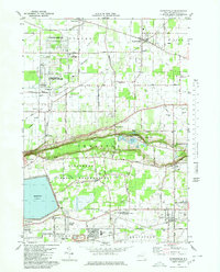
Editions of this 1980 Ransomville Map
2 editions found
Other maps of this area

1894 · Niagara Falls
USGS Topo · 1:62,500

1894 · Wilson
USGS Topo · 1:62,500

1896 · Niagara Falls
USGS Topo · 1:62,500

1897 · Tonawanda
USGS Topo · 1:62,500

1899 · Niagara
USGS Topo · 1:125,000

1900 · Wilson
USGS Topo · 1:62,500

1900 · Tonawanda
USGS Topo · 1:62,500

1900 · Niagara Falls
USGS Topo · 1:62,500

1901 · Niagara Falls
USGS Topo · 1:62,500

1901 · Tonawanda
USGS Topo · 1:62,500