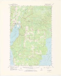
1958 Map of Rapid River
USGS Topo · Published 1973About this map
Little Bay de Noc and the surrounding timberlands of the Hiawatha National Forest define this 1950s landscape, where the confluence of the Whitefish River and Rapid River meet the northern reaches of Lake Michigan. The settlement of Rapid River serves as a central hub, flanked by the Minneapolis, Sault Ste Marie rail line which connects the coastal communities of Masonville and Garth. This survey documents a transition from industrial exploitation to conservation, showing numerous Gravel Pits alongside established landmarks like the Rapid River Lookout Tower.
Find a feature on this map
78 named features on this map. Tap any name to fly to it.
Don’t see what you’re looking for? This feature index may not catch every label — zoom into the map to look around manually.
Map Details
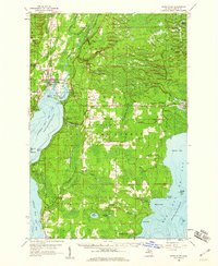
Editions of this 1958 Rapid River Map
2 editions found
Other maps of this area

1932 · Gladstone NE
USGS Topo · 1:31,680

1932 · Rapid River NE
USGS Topo · 1:31,680

1932 · Trenary SW
USGS Topo · 1:31,680

1932 · Burnt Bluff NW
USGS Topo · 1:31,680

1932 · Garden NW and SW
USGS Topo · 1:31,680

1932 · Gladstone SE
USGS Topo · 1:31,680

1932 · Rapid River NW
USGS Topo · 1:31,680

1932 · Trenary SE
USGS Topo · 1:31,680

1932 · Rock SE
USGS Topo · 1:31,680

1932 · Rapid River SE
USGS Topo · 1:31,680