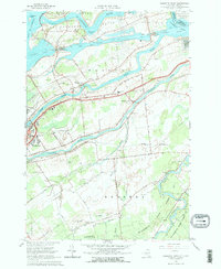
1964 Map of Raquette River
USGS Topo · Published 1977About this map
Industrial navigation and riparian landscapes define this 1964 survey of the St Lawrence River boundary area. The infrastructure of the Wiley-Dondero Canal is prominently detailed, featuring the Eisenhower Lock and Snell Lock, which bypass the rapids near Barnhart Island. This engineering feat transformed the maritime economy of the region, allowing ocean-going vessels to navigate deep into the interior. Inland, the smaller Grass River and Raquette River meander through the landscape, supporting established communities like Massena Center and the village of Massena.
Find a feature on this map
41 named features on this map. Tap any name to fly to it.
Don’t see what you’re looking for? This feature index may not catch every label — zoom into the map to look around manually.
Map Details
Editions of this 1964 Raquette River Map
2 editions found
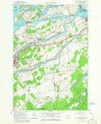
Other maps of this area

1906 · Massena
USGS Topo · 1:62,500

1907 · Massena
USGS Topo · 1:62,500

1915 · Moira
USGS Topo · 1:62,500

1917 · Moira
USGS Topo · 1:62,500

1942 · Norfolk
USGS Topo · 1:24,000

1942 · Barnhart Island
USGS Topo · 1:24,000

1942 · Massena
USGS Topo · 1:24,000

1943 · Barnhart Island
USGS Topo · 1:31,680
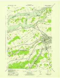
1943 · Massena
USGS Topo · 1:31,680
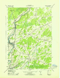
1943 · Norfolk
USGS Topo · 1:31,680