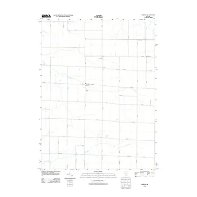
2012 Map of Raritan
USGS Topo · Published 2012About this map
Raritan serves as the central hub for this Henderson County agricultural landscape, situated along the crossroads of Jersey St and Main St. The map illustrates a strictly organized grid of rural roads and county highways that define the region's character, punctuated by several established community landmarks. Local heritage is rooted in the presence of Saint Patrick's Cem to the north and the Raritan Cem just south of the main settlement.
Find a feature on this map
35 named features on this map. Tap any name to fly to it.
Don’t see what you’re looking for? This feature index may not catch every label — zoom into the map to look around manually.
Map Details
Editions of this 2012 Raritan Map
This is the sole edition of this map. No revisions or reprints were ever made.
Other maps of this area

1916 · Good Hope
USGS Topo · 1:62,500

1918 · La Harpe
USGS Topo · 1:62,500

1918 · Good Hope
USGS Topo · 1:62,500

1921 · Monmouth
USGS Topo · 1:62,500

1923 · Monmouth
USGS Topo · 1:62,500

1934 · Oquawka
USGS Topo · 1:48,000

1940 · Oquawka
USGS Topo · 1:62,500

1958 · Burlington
USGS Topo · 1:250,000

1961 · Burlington
USGS Topo · 1:250,000

1963 · Burlington
USGS Topo · 1:250,000