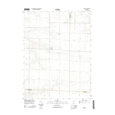
2015 Map of Raritan
USGS Topo · Published 2015About this map
Raritan serves as the central hub of this agricultural landscape, situated at the intersection of Henderson, Warren, and McDonough counties. The village is flanked by the Raritan Cem and Saint Patrick's Cem, offering clear coordinates for genealogical research in this part of western Illinois. The surrounding terrain is defined by a dense network of seasonal and permanent waterways, including the winding course of the La Moine River along the southern border and several tributaries like Honey Cr and Middle Cr that drain the fertile prairie lands.
Find a feature on this map
20 named features on this map. Tap any name to fly to it.
Don’t see what you’re looking for? This feature index may not catch every label — zoom into the map to look around manually.
Map Details
Editions of this 2015 Raritan Map
This is the sole edition of this map. No revisions or reprints were ever made.
Other maps of this area

1916 · Good Hope
USGS Topo · 1:62,500

1918 · La Harpe
USGS Topo · 1:62,500

1918 · Good Hope
USGS Topo · 1:62,500

1921 · Monmouth
USGS Topo · 1:62,500

1923 · Monmouth
USGS Topo · 1:62,500

1934 · Oquawka
USGS Topo · 1:48,000

1940 · Oquawka
USGS Topo · 1:62,500

1958 · Burlington
USGS Topo · 1:250,000

1961 · Burlington
USGS Topo · 1:250,000

1963 · Burlington
USGS Topo · 1:250,000