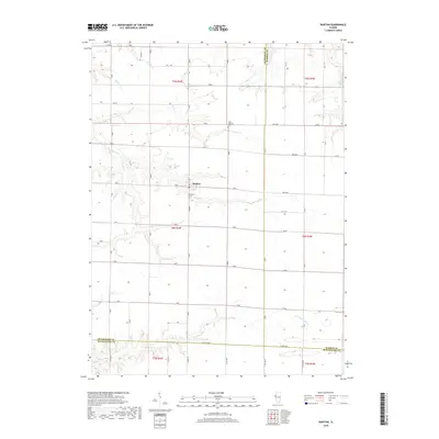
2018 Map of Raritan
USGS Topo · Published 2018About this map
Raritan serves as the central hub of this agricultural landscape in the late 2010s, where the convergence of Henderson, Warren, and McDonough counties meets. The settlement is flanked by Raritan Cem and is defined by a grid of rural routes like Trenton and 40th Ave. To the north, the small cemetery at Saint Patrick's Cem stands near the intersection of 60th Ave, marking a point of interest for local genealogy researchers.
Find a feature on this map
33 named features on this map. Tap any name to fly to it.
Don’t see what you’re looking for? This feature index may not catch every label — zoom into the map to look around manually.
Map Details
Editions of this 2018 Raritan Map
This is the sole edition of this map. No revisions or reprints were ever made.
Other maps of this area

1916 · Good Hope
USGS Topo · 1:62,500

1918 · La Harpe
USGS Topo · 1:62,500

1918 · Good Hope
USGS Topo · 1:62,500

1921 · Monmouth
USGS Topo · 1:62,500

1923 · Monmouth
USGS Topo · 1:62,500

1934 · Oquawka
USGS Topo · 1:48,000

1940 · Oquawka
USGS Topo · 1:62,500

1958 · Burlington
USGS Topo · 1:250,000

1961 · Burlington
USGS Topo · 1:250,000

1963 · Burlington
USGS Topo · 1:250,000