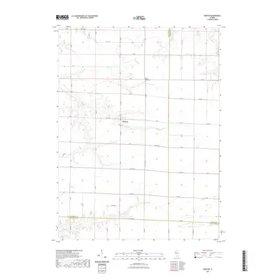
2021 Map of Raritan
USGS Topo · Published 2021About this map
Raritan occupies a central position on this agricultural landscape where Henderson, Warren, and McDonough counties meet. The settlement is defined by a dense grid of rural roads and township lines, such as Twp Rd 400N and Twp Rd 800N, which partition the fertile Illinois prairie. Waterways like Honey Cr and Dixson Cr wind through the northern sections, while the La Moine River cuts across the southern edge of the quadrangle. For those researching local history or genealogy, the map identifies significant burial sites including Saint Patricks Church Cem and Raritan Cem, which serve as permanent markers of the area's early families and religious community. The landscape remains largely defined by its drainage systems, including Ellison Cr and Middle Cr, which dictate the placement of farms and transit routes across this corner of Western Illinois.
Find a feature on this map
32 named features on this map. Tap any name to fly to it.
Don’t see what you’re looking for? This feature index may not catch every label — zoom into the map to look around manually.
Map Details
Editions of this 2021 Raritan Map
This is the sole edition of this map. No revisions or reprints were ever made.
Other maps of this area

1916 · Good Hope
USGS Topo · 1:62,500

1918 · La Harpe
USGS Topo · 1:62,500

1918 · Good Hope
USGS Topo · 1:62,500

1921 · Monmouth
USGS Topo · 1:62,500

1923 · Monmouth
USGS Topo · 1:62,500

1934 · Oquawka
USGS Topo · 1:48,000

1940 · Oquawka
USGS Topo · 1:62,500

1958 · Burlington
USGS Topo · 1:250,000

1961 · Burlington
USGS Topo · 1:250,000

1963 · Burlington
USGS Topo · 1:250,000