2024 Map of Raritan
USGS Topo · Published 2024About this map
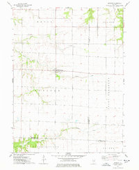
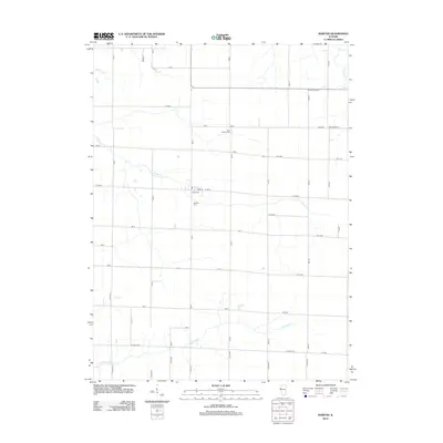
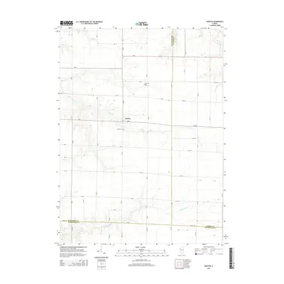
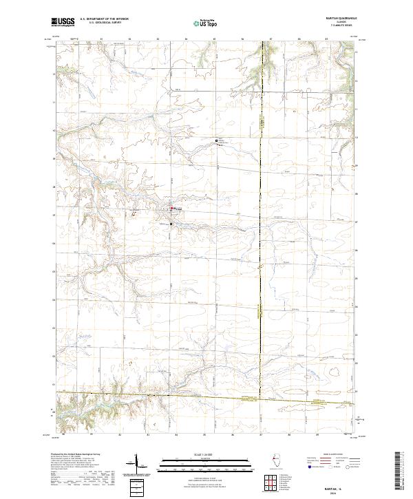
Raritan occupies a central position within this Henderson County landscape, serving as a hub for the surrounding agricultural grid. The terrain is defined by a series of drainages, most notably Honey Creek, which meanders past the town center, and the La Moine River along the southern border. Genealogists will find interest in the documented locations of Saint Patricks Catholic Cem to the north and Raritan Cem just south of the settlement. The map reveals the intricate network of township and county roads, such as Co Hwy 26 and N 2400th Rd, that partition the land. This survey illustrates how the natural watercourses like Middle Creek and Ellison Creek intersect with a strictly organized section-line road system, reflecting a long-established pattern of midwestern land use and rural community structure.
Find a feature on this map
43 named features on this map. Tap any name to fly to it.
Don’t see what you’re looking for? This feature index may not catch every label — zoom into the map to look around manually.
Map Details
Editions of this 2024 Raritan Map
This is the sole edition of this map. No revisions or reprints were ever made.
Historical Maps of Raritan Through Time
6 maps found