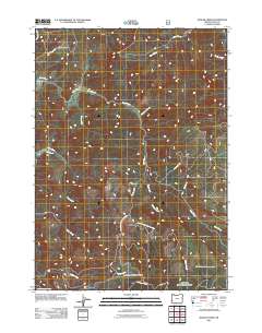
2011 Map of Rasler Creek
USGS Topo · Published 2011About this map
Jenkins Prairie and its surrounding drainage basins define this portion of Coos County, where steep terrain and a dense network of watercourses converge. The landscape is dominated by the upper reaches of Rock Creek and Rasler Creek, showing a region shaped by timber management and forest access. A complex system of logging roads, including Natl Forest Develop Road 3000 and Nat For Dev Rd 248, provides the primary infrastructure through the ridges. Smaller tributaries such as Pheasant Creek, Shields Creek, and Fall Creek feed into the larger creek systems, while Cole Creek RD and Jenkins Prairie Rd mark the limited historical entry points into this high-elevation forest environment. The map details the transition from high meadows to the deeply incised valleys of Myrtle Creek at the southern edge.
Find a feature on this map
20 named features on this map. Tap any name to fly to it.
Don’t see what you’re looking for? This feature index may not catch every label — zoom into the map to look around manually.
Map Details
Editions of this 2011 Rasler Creek Map
This is the sole edition of this map. No revisions or reprints were ever made.
Other maps of this area

1896 · Coos Bay
USGS Topo · 1:125,000

1898 · Coos Bay
USGS Topo · 1:125,000

1899 · Port Orford
USGS Topo · 1:125,000

1900 · Coos Bay
USGS Topo · 1:125,000

1903 · Port Orford
USGS Topo · 1:125,000

1928 · Sitkum
USGS Topo · 1:125,000

1942 · Coquille
USGS Topo · 1:62,500

1945 · Coquille
USGS Topo · 1:62,500

1954 · Coos Bay
USGS Topo · 1:250,000

1954 · Bone Mountain
USGS Topo · 1:62,500