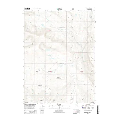
2014 Map of Rasmussen Lakes
USGS Topo · Published 2014About this map
Ashley National Forest dominates this high-altitude landscape in the Uinta Mountains, where a chain of glacial waters including Rasmussen Lakes, Cirque Lake, and Point Lake sit nested below Goose Egg Peak. The drainage patterns here are defined by the W Fork Whiterocks River and Pole Cr, the latter of which features the notable Pole Creek Sink. This hydrological network supported early seasonal use of the area, evidenced by landmarks like Bennion Park and Davis Park.
Find a feature on this map
37 named features on this map. Tap any name to fly to it.
Don’t see what you’re looking for? This feature index may not catch every label — zoom into the map to look around manually.
Map Details
Editions of this 2014 Rasmussen Lakes Map
This is the sole edition of this map. No revisions or reprints were ever made.
Other maps of this area

1885 · Ashley
USGS Topo · 1:250,000

1885 · Uinta
USGS Topo · 1:250,000

1905 · Gilbert Peak
USGS Topo · 1:125,000

1906 · Gilbert Peak
USGS Topo · 1:125,000

1906 · Marsh Peak
USGS Topo · 1:125,000

1908 · Marsh Peak
USGS Topo · 1:125,000

1954 · Salt Lake City
USGS Topo · 1:250,000

1954 · Vernal
USGS Topo · 1:250,000

1958 · Vernal
USGS Topo · 1:250,000

1958 · Salt Lake City
USGS Topo · 1:250,000