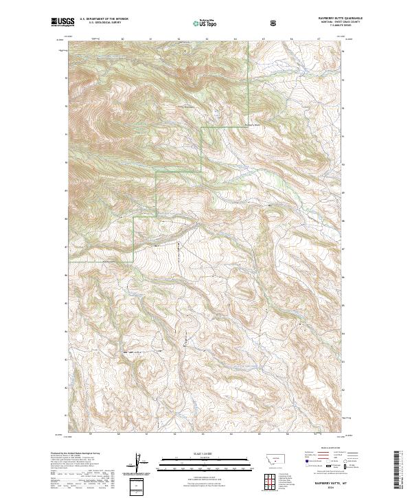
2024 Map of Raspberry Butte
USGS Topo · Published 2024About this map
The Crazy Mountains dominate this high-elevation landscape within the Gallatin National Forest, characterized by a complex network of timber creek drainages. Central to the area is Raspberry Butte, a prominent landmark surrounded by the headwaters of Swamp Creek and the North Fork Little Timber Creek. The terrain is defined by steep ridges and glacial features, including the Beley Lakes tucked below the peaks.
Find a feature on this map
24 named features on this map. Tap any name to fly to it.
Don’t see what you’re looking for? This feature index may not catch every label — zoom into the map to look around manually.
Map Details
Editions of this 2024 Raspberry Butte Map
This is the sole edition of this map. No revisions or reprints were ever made.
Other maps of this area

1886 · Little Belt Mts.
USGS Topo · 1:250,000

1891 · Livingston
USGS Topo · 1:250,000

1893 · Livingston
USGS Topo · 1:250,000

1894 · Little Belt Mts.
USGS Topo · 1:250,000

1897 · Little Belt Mts.
USGS Topo · 1:250,000

1898 · Little Belt Mts.
USGS Topo · 1:250,000

1902 · Little Belt Mts.
USGS Topo · 1:250,000

1947 · Bozeman
USGS Topo · 1:250,000

1948 · Bozeman
USGS Topo · 1:250,000

1948 · White Sulphur Springs
USGS Topo · 1:250,000