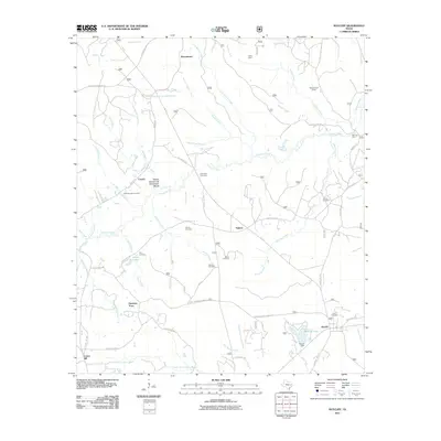
2011 Map of Ratcliff
USGS Topo · Published 2011About this map
Harrison Town and Ratcliff sit within a landscape defined by an intricate network of creeks and bayous in eastern Texas. The terrain is notably dissected by the North Fork Cochino Bayou and the South Fork Cochino Bayou, with the Ratcliff Dam creating the prominent Ratcliff Lake to the east. This 2011 survey reveals a quiet, rural settlement pattern characterized by numerous family and community burial grounds, such as the Old Patton Cemetery and Moffitt Creath Cemetery, which serve as vital markers for local genealogical research. Small communities like Tadmor, Creath, and Burrantown are linked by a web of local roads, including FM 227 and FM 1733. The drainage pattern is particularly complex, featuring the Wilcox Branch and Chinquapin Merge and the Red Lick Ford crossing on Hickory Creek, reflecting a long history of navigating these wooded waterways before modern infrastructure dominated the region.
Find a feature on this map
68 named features on this map. Tap any name to fly to it.
Don’t see what you’re looking for? This feature index may not catch every label — zoom into the map to look around manually.
Map Details
Editions of this 2011 Ratcliff Map
This is the sole edition of this map. No revisions or reprints were ever made.
Other maps of this area

1946 · Alto
USGS Topo · 1:62,500

1950 · Crockett NE
USGS Topo · 1:24,000

1950 · Kennard NE
USGS Topo · 1:24,000

1950 · Ratcliff
USGS Topo · 1:24,000

1950 · Centralia
USGS Topo · 1:24,000

1951 · Kennard
USGS Topo · 1:24,000

1951 · Centralia
USGS Topo · 1:24,000

1951 · Berea
USGS Topo · 1:24,000

1951 · Crockett NE
USGS Topo · 1:24,000

1951 · Kennard NE
USGS Topo · 1:24,000