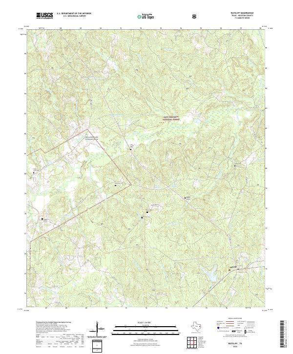
2022 Map of Ratcliff
USGS Topo · Published 2022About this map
Davy Crockett National Forest dominates this section of Houston County, where the settlement of Ratcliff sits at a junction of forest roads and creek drainage systems. The landscape is defined by a dense network of minor waterways including Whiteley Cr, Lee Creek, and the headwaters of the N Fork Cochino Bayou. These creek beds and adjacent ridges hold deep genealogical significance, evidenced by a high concentration of small burial grounds such as the McKelvey Cem, Old Zion Cem, and Brent Cem, often located along rural routes like Brent Cem Rd. The map also captures distinct family markers like the Patton Family Graves and Vaughn Family Graves, suggesting a long-standing history of private landholdings within the federal forest boundaries. Notable hydrological features include Adeline Springs and the curious confluence labeled as the Wilcox Branch and Chinquapin Merge.
Find a feature on this map
62 named features on this map. Tap any name to fly to it.
Don’t see what you’re looking for? This feature index may not catch every label — zoom into the map to look around manually.
Map Details
Editions of this 2022 Ratcliff Map
This is the sole edition of this map. No revisions or reprints were ever made.
Other maps of this area

1946 · Alto
USGS Topo · 1:62,500

1950 · Crockett NE
USGS Topo · 1:24,000

1950 · Kennard NE
USGS Topo · 1:24,000

1950 · Ratcliff
USGS Topo · 1:24,000

1950 · Centralia
USGS Topo · 1:24,000

1951 · Kennard
USGS Topo · 1:24,000

1951 · Centralia
USGS Topo · 1:24,000

1951 · Berea
USGS Topo · 1:24,000

1951 · Crockett NE
USGS Topo · 1:24,000

1951 · Kennard NE
USGS Topo · 1:24,000