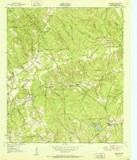
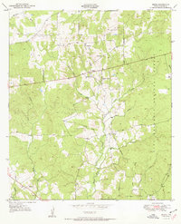
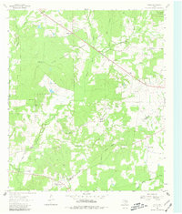
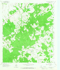
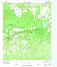
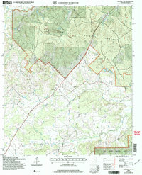
1951 Map of Ratcliff
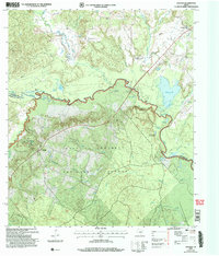
USGS Topo · Published 1951This historical map portrays the area of Ratcliff in 1951, primarily covering Houston County. Featuring a scale of 1:24000, this map provides a highly detailed snapshot of the terrain, roads, buildings, counties, and historical landmarks in the Ratcliff region at the time. Published in 1951, it is the sole known edition of this map.
Find a feature on this map
38 named features on this map. Tap any name to fly to it.
Don’t see what you’re looking for? This feature index may not catch every label — zoom into the map to look around manually.
Map Details
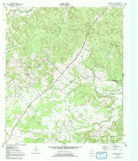
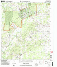
Editions of this 1951 Ratcliff Map
This is the sole edition of this map. No revisions or reprints were ever made.
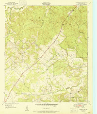
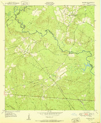
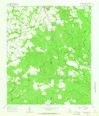
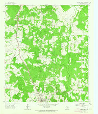
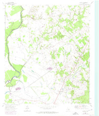
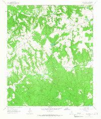
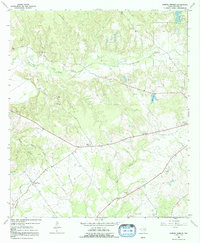
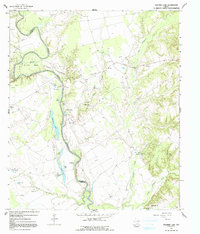
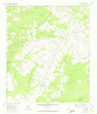
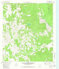
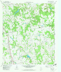
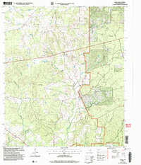
Historical Maps of Center Hill Through Time
25 maps found
1950 Crockett NE
Houston County, TX
1950 Kennard NE
Houston County, TX
1950 Ratcliff
Houston County, TX
1951 Berea
Houston County, TX
1951 Crockett NE
Houston County, TX
1951 Kennard NE
Houston County, TX
1951 Ratcliff
Houston County, TX
1962 Lovelady South
Houston County, TX
1963 Fodice
Houston County, TX
1963 Lovelady North
Houston County, TX
1964 Austonio
Houston County, TX
1964 Hays Spring
Houston County, TX
1964 Pearsons Chapel
Houston County, TX
1964 Porter Springs
Houston County, TX
1964 Stanmire Lake
Houston County, TX
1964 Weldon
Houston County, TX
1973 Weches
Houston County, TX
1982 Augusta
Houston County, TX
1982 Percilla
Houston County, TX
2004 Berea
Houston County, TX
2004 Crockett NE
Houston County, TX
2004 Fodice
Houston County, TX
2004 Kennard NE
Houston County, TX
2004 Ratcliff
Houston County, TX
2004 Weches
Houston County, TX