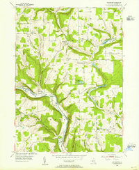
1953 Map of Rathbone
USGS Topo · Published 1955About this map
The Canisteo River valley dominates the landscape of Steuben County in the early 1950s, serving as the primary corridor for both the Erie RR and local industry. The settlement of Rathbone sits at the southern bend of the river, while Cameron Mills marks the western edge of this transport-driven valley. The surrounding uplands are defined by a network of rural routes like Forty Dollar Road and Cranberry Lake Road, which connect high-altitude landmarks such as Cameron Hill to small community hubs like South Thurston.
Find a feature on this map
42 named features on this map. Tap any name to fly to it.
Don’t see what you’re looking for? This feature index may not catch every label — zoom into the map to look around manually.
Map Details
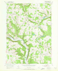
Editions of this 1953 Rathbone Map
2 editions found
Other maps of this area

1903 · Hammondsport
USGS Topo · 1:62,500

1910 · Bath
USGS Topo · 1:62,500

1914 · Corning
USGS Topo · 1:62,500

1924 · Woodhull
USGS Topo · 1:48,000

1926 · Woodhull
USGS Topo · 1:62,500

1944 · Woodhull
USGS Topo · 1:62,500

1944 · Corning
USGS Topo · 1:62,500

1950 · Elmira
USGS Topo · 1:250,000

1953 · Campbell
USGS Topo · 1:24,000

1953 · Cameron
USGS Topo · 1:24,000