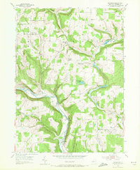
1953 Map of Rathbone
USGS Topo · Published 1972About this map
The Canisteo River carves a deep path through southern Steuben County, anchoring a landscape defined by sharp elevation changes and narrow creek valleys. Along its banks, the Erie RR corridor serves the small settlement of Cameron Mills and the community of Rathbone, reflecting the mid-century reliance on river-and-rail transport for this pocket of New York. To the north, the terrain rises toward Forty Dollar Hill and the scattered hamlets of Risingville and Thurston. This 1953 field check reveals a rural social infrastructure of remote schools and places of worship, including the Aldrich Sch and the Town Line Ch. The distribution of burial grounds, such as the Cameron Hill Cem and Risingville Cem, provides essential points of reference for genealogists tracing family footprints across the varied ridges and hollows like Helmer Hollow.
Find a feature on this map
40 named features on this map. Tap any name to fly to it.
Don’t see what you’re looking for? This feature index may not catch every label — zoom into the map to look around manually.
Map Details
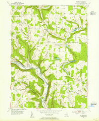
Editions of this 1953 Rathbone Map
2 editions found
Other maps of this area

1903 · Hammondsport
USGS Topo · 1:62,500

1910 · Bath
USGS Topo · 1:62,500

1914 · Corning
USGS Topo · 1:62,500

1924 · Woodhull
USGS Topo · 1:48,000

1926 · Woodhull
USGS Topo · 1:62,500

1944 · Woodhull
USGS Topo · 1:62,500

1944 · Corning
USGS Topo · 1:62,500

1950 · Elmira
USGS Topo · 1:250,000

1953 · Campbell
USGS Topo · 1:24,000

1953 · Cameron
USGS Topo · 1:24,000