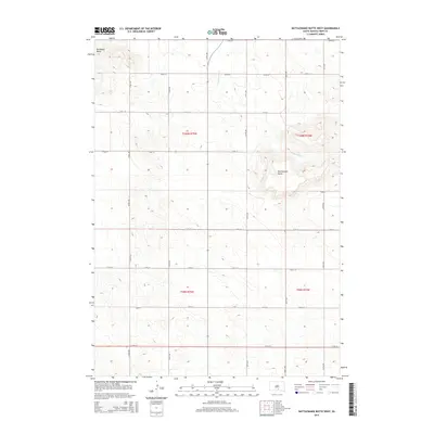
2015 Map of Rattlesnake Butte West
USGS Topo · Published 2015About this map
Rattlesnake Butte and Bradleyon Butte define the topography of this Tripp County landscape, rising as prominent landmarks above the surrounding plains. The 2015 survey reveals a strictly organized grid of sections and rural section-line roads, such as 322nd Ave and 270th St, characteristic of the Public Land Survey System in South Dakota. This pattern reflects the agricultural partitioning of the Great Plains, where the drainage of No Moccasin Cr cuts through the township boundaries of t100n r74w and t99n r75w. The map serves as a precise record of late-twentieth and early-twenty-first-century rural infrastructure, documenting every gravel road and section corner across this sparsely populated region.
Find a feature on this map
22 named features on this map. Tap any name to fly to it.
Don’t see what you’re looking for? This feature index may not catch every label — zoom into the map to look around manually.
Map Details
Editions of this 2015 Rattlesnake Butte West Map
This is the sole edition of this map. No revisions or reprints were ever made.
Other maps of this area

1955 · Mitchell
USGS Topo · 1:250,000

1959 · Mitchell
USGS Topo · 1:250,000

1971 · Hamill SE
USGS Topo · 1:24,000

1971 · Colome
USGS Topo · 1:24,000

1971 · Rattlesnake Butte East
USGS Topo · 1:24,000

1971 · Hamill
USGS Topo · 1:24,000

1971 · Rattlesnake Butte West
USGS Topo · 1:24,000

1971 · Colome SE
USGS Topo · 1:24,000

1982 · King Dam
USGS Topo · 1:25,000

1982 · Winner North
USGS Topo · 1:25,000