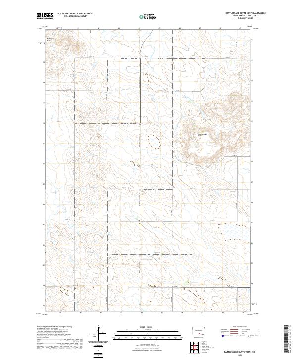
2021 Map of Rattlesnake Butte West
USGS Topo · Published 2021About this map
Rattlesnake Butte and Bradleyon Butte dominate this landscape in southern Tripp County, marking the high points of a drainage divide between intermittent prairie streams. The terrain is defined by the winding course of No Moccasin Cr, which carves through the north-central portion of the quadrangle before disappearing into the surrounding tableland. Human activity is etched into the landscape via a strict grid of section-line roads, anchored by the north-south corridor of S Dakota Highway 49. The sparse distribution of named natural landmarks underscores the open, ranching character of this region during the early twenty-first century. This survey documents the intersection of four township and range boundaries, including t100n r75w and t100n r74w, providing a clear record of land division in this portion of the Great Plains.
Find a feature on this map
22 named features on this map. Tap any name to fly to it.
Don’t see what you’re looking for? This feature index may not catch every label — zoom into the map to look around manually.
Map Details
Editions of this 2021 Rattlesnake Butte West Map
This is the sole edition of this map. No revisions or reprints were ever made.
Other maps of this area

1955 · Mitchell
USGS Topo · 1:250,000

1959 · Mitchell
USGS Topo · 1:250,000

1971 · Hamill SE
USGS Topo · 1:24,000

1971 · Colome
USGS Topo · 1:24,000

1971 · Rattlesnake Butte East
USGS Topo · 1:24,000

1971 · Hamill
USGS Topo · 1:24,000

1971 · Rattlesnake Butte West
USGS Topo · 1:24,000

1971 · Colome SE
USGS Topo · 1:24,000

1982 · King Dam
USGS Topo · 1:25,000

1982 · Winner North
USGS Topo · 1:25,000