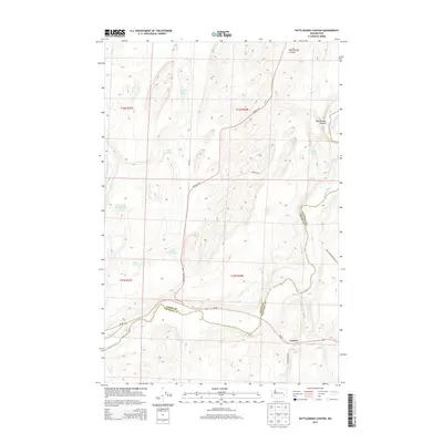
2013 Map of Rattlesnake Canyon
USGS Topo · Published 2013About this map
The Palouse River winds through this arid landscape on the border of Adams and Whitman counties, carving a deep path through the plateau. In the southern portion of the map, the small settlement of Gordon sits near the confluence of Willow Cr and the river, while the northern terrain is defined by the sharp descent into Rattlesnake Canyon. This 2013 survey illustrates a sparsely populated region dominated by intermittent water sources and small basins such as Negro Lake, Twin Lakes, and Kennedy Lake. Scattered springs like Turner Springs and Shobe Spring provide vital water points in an area otherwise characterized by its agricultural corridors, including Beckley Rd and Wa-26, which cut through the high desert landscape between the river valley and the northern coulees.
Find a feature on this map
23 named features on this map. Tap any name to fly to it.
Don’t see what you’re looking for? This feature index may not catch every label — zoom into the map to look around manually.
Map Details
Editions of this 2013 Rattlesnake Canyon Map
This is the sole edition of this map. No revisions or reprints were ever made.
Other maps of this area

1948 · Starbuck
USGS Topo · 1:62,500

1950 · La Crosse
USGS Topo · 1:62,500

1950 · Starbuck
USGS Topo · 1:62,500

1950 · Hay
USGS Topo · 1:62,500

1950 · Benge
USGS Topo · 1:62,500

1952 · Hay
USGS Topo · 1:62,500

1952 · La Crosse
USGS Topo · 1:62,500

1952 · Benge
USGS Topo · 1:62,500

1953 · Walla Walla
USGS Topo · 1:250,000

1955 · Pullman
USGS Topo · 1:250,000