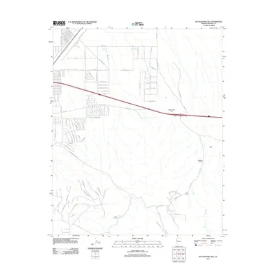
2011 Map of Rattlesnake Hill
USGS Topo · Published 2011About this map
Rattlesnake Hill rises as a central landmark in this 2011 survey of the Mohave County landscape, where the expanding residential grid of Kingman meets the traditional ranching territory of the high desert. The map documents a distinct transition from suburban street names like Airway Ave and Wagon Wheel Rd to the more isolated water sources and livestock outposts essential for desert survival. Key points of interest for local history include named properties such as Getz Ranch, D-W Ranch, and the Lady Y U Ranch, along with a simple Shack near a spring. The physical geography is defined by the drainage of Frees Wash through Hualapai Canyon, while man-made water features like Berry Tank and Berry Tank Number Two illustrate the critical infrastructure required to support life and cattle in this arid environment east of the city core.
Find a feature on this map
96 named features on this map. Tap any name to fly to it.
Don’t see what you’re looking for? This feature index may not catch every label — zoom into the map to look around manually.
Map Details
Editions of this 2011 Rattlesnake Hill Map
This is the sole edition of this map. No revisions or reprints were ever made.
Other maps of this area

1886 · Diamond Creek
USGS Topo · 1:250,000

1886 · Camp Mohave
USGS Topo · 1:250,000

1892 · Diamond Creek
USGS Topo · 1:250,000

1892 · Camp Mohave
USGS Topo · 1:250,000

1939 · Chloride
USGS Topo · 1:48,000

1942 · Camp Mohave
USGS Topo · 1:250,000

1944 · Chloride
USGS Topo · 1:62,500

1947 · Kingman
USGS Topo · 1:250,000

1948 · Kingman
USGS Topo · 1:250,000

1948 · Williams
USGS Topo · 1:250,000