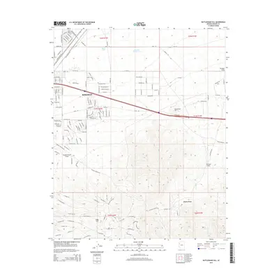
2014 Map of Rattlesnake Hill
USGS Topo · Published 2014About this map
Kingman serves as the primary urban center in this high-desert landscape, with residential development extending south toward the dramatic relief of Slaughterhouse Canyon and Hualapai Canyon. The map reveals a transition from the structured grid of the city, including thoroughfares like Airway Ave and Southern Ave, into the more dispersed foothill communities. To the southeast, the settlements of Pinion Pines and Lazy Y U represent a different style of habitation, where local roads wind through the rising elevations near Rattlesnake Hill.
Find a feature on this map
141 named features on this map. Tap any name to fly to it.
Don’t see what you’re looking for? This feature index may not catch every label — zoom into the map to look around manually.
Map Details
Editions of this 2014 Rattlesnake Hill Map
This is the sole edition of this map. No revisions or reprints were ever made.
Other maps of this area

1886 · Diamond Creek
USGS Topo · 1:250,000

1886 · Camp Mohave
USGS Topo · 1:250,000

1892 · Diamond Creek
USGS Topo · 1:250,000

1892 · Camp Mohave
USGS Topo · 1:250,000

1939 · Chloride
USGS Topo · 1:48,000

1942 · Camp Mohave
USGS Topo · 1:250,000

1944 · Chloride
USGS Topo · 1:62,500

1947 · Kingman
USGS Topo · 1:250,000

1948 · Kingman
USGS Topo · 1:250,000

1948 · Williams
USGS Topo · 1:250,000