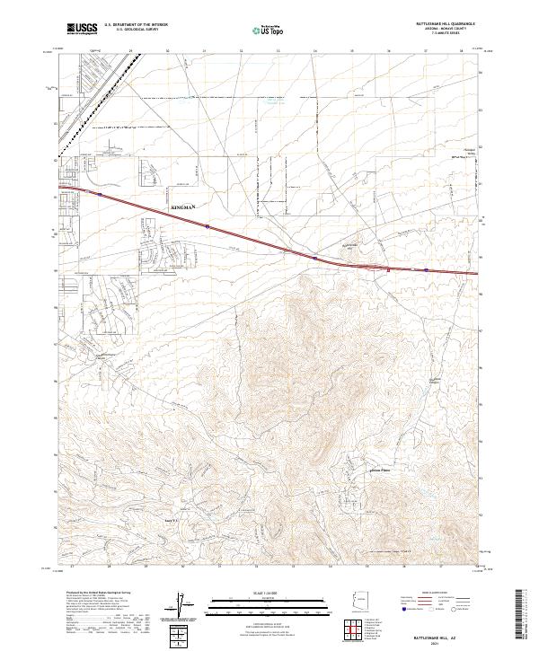
2021 Map of Rattlesnake Hill
USGS Topo · Published 2021About this map
Kingman serves as the primary anchor for this Mohave County landscape, situated where the high desert floor of the Hualapai Valley transitions into more complex terrain. The map captures the suburban expansion of the city northward toward Berry Tank and Berry Tank Number Two, while to the south, the topography rises sharply into the high country. Here, isolated settlements like Pinion Pines and the Lazy Y U area are established among the drainages of Slaughterhouse Canyon and Hualapai Canyon. This contemporary survey highlights the modern road network, including the residential clusters along E Andy Devine Ave, and tracks the hydrological features critical to this arid environment, from the intermittent flow of Frees Wash to remote water sources like Shack Spring and Falls Spring.
Find a feature on this map
138 named features on this map. Tap any name to fly to it.
Don’t see what you’re looking for? This feature index may not catch every label — zoom into the map to look around manually.
Map Details
Editions of this 2021 Rattlesnake Hill Map
This is the sole edition of this map. No revisions or reprints were ever made.
Other maps of this area

1886 · Diamond Creek
USGS Topo · 1:250,000

1886 · Camp Mohave
USGS Topo · 1:250,000

1892 · Diamond Creek
USGS Topo · 1:250,000

1892 · Camp Mohave
USGS Topo · 1:250,000

1939 · Chloride
USGS Topo · 1:48,000

1942 · Camp Mohave
USGS Topo · 1:250,000

1944 · Chloride
USGS Topo · 1:62,500

1947 · Kingman
USGS Topo · 1:250,000

1948 · Kingman
USGS Topo · 1:250,000

1948 · Williams
USGS Topo · 1:250,000