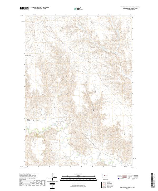
2021 Map of Rattlesnake Lake NE
USGS Topo · Published 2021About this map
Cherry Cr defines the southern portion of this Ziebach County landscape, where the drainage network of the Cheyenne River Indian Reservation branches into distinctive prairie draws. This modern era survey illustrates the complex topography of the western plains, marked by erosion features such as Little Dog Draw, Horn Draw, and Straighthead Draw. These natural landmarks provide essential orientation in a region defined by its wide, open drainages. Infrastructure is sparse, primarily consisting of tribal routes like Bia Hwy 6 and Bia Hwy 5, alongside Golden Eagle Rd, which provide the primary access through the townships of t9n r21e and t8n r21e. The map also captures the headwaters and tributaries of the Little Cottonwood Cr system in the north, showing how seasonal water flow has carved the South Dakota soil.
Find a feature on this map
13 named features on this map. Tap any name to fly to it.
Don’t see what you’re looking for? This feature index may not catch every label — zoom into the map to look around manually.
Map Details
Editions of this 2021 Rattlesnake Lake NE Map
This is the sole edition of this map. No revisions or reprints were ever made.
Other maps of this area

1954 · Pierre
USGS Topo · 1:250,000

1955 · Rattlesnake Lake SE
USGS Topo · 1:24,000

1955 · Rattlesnake Lake SW
USGS Topo · 1:24,000

1955 · Rattlesnake Lake
USGS Topo · 1:24,000

1955 · Rattlesnake Lake NE
USGS Topo · 1:24,000

1956 · Cherry Creek NW
USGS Topo · 1:24,000

1956 · Cherry Creek
USGS Topo · 1:24,000

1958 · Pierre
USGS Topo · 1:250,000

1981 · High Elk Hill SW
USGS Topo · 1:24,000

1982 · Longbrake Ranch
USGS Topo · 1:24,000