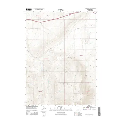
2015 Map of Rattlesnake Pass
USGS Topo · Published 2015About this map
Rattlesnake Pass serves as a central geographical landmark in this section of Carbon County, where the high-altitude landscape is defined by the prominent Elk Mtn and Halleck Ridge. The intricate drainage patterns of the area are traced through Kinney Cr, Halleck Cr, and Rattlesnake Cr, which move through the complex topography of the Medicine Bow region. A notable industrial feature is the Hanna Water Supply, reflecting the vital infrastructure needed to support the nearby mining communities. The route along Rattlesnake Pass Rd provides the primary access through this high-country terrain, illustrating the historical path through these mountains. This 2015 survey provides a modern snapshot of the region's hydrography and public land survey system divisions across several townships including T20N R82W.
Find a feature on this map
15 named features on this map. Tap any name to fly to it.
Don’t see what you’re looking for? This feature index may not catch every label — zoom into the map to look around manually.
Map Details
Editions of this 2015 Rattlesnake Pass Map
This is the sole edition of this map. No revisions or reprints were ever made.
Other maps of this area

1893 · Fort Steele
USGS Topo · 1:125,000

1914 · Hanna
USGS Topo · 1:62,500

1914 · Saddleback Hills
USGS Topo · 1:62,500

1921 · Saddleback Hills
USGS Topo · 1:62,500

1954 · Rawlins
USGS Topo · 1:250,000

1955 · Coal Bank Basin
USGS Topo · 1:24,000

1955 · Elk Mountain
USGS Topo · 1:24,000

1955 · Elk Mountain SW
USGS Topo · 1:24,000

1955 · Oberg Ranch
USGS Topo · 1:24,000

1955 · Rattlesnake Pass
USGS Topo · 1:24,000