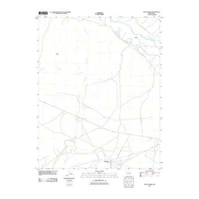
2010 Map of Rattlesnake
USGS Topo · Published 2010About this map
Rattlesnake and the surrounding desert floor of the Navajo Nation are defined by a complex network of seasonal drainages and early infrastructure in this 2010 topographic record. The San Juan River cuts across the northern corner, providing the essential water source for the Cudei Ditch, an irrigation feature supporting the settlement of Cudei. Much of the landscape is dominated by the broad, braided paths of Shiprock Wash, Lichii Wash, and Little Shiprock Wash, which carry runoff from the Gray Hills toward the river valley.
Find a feature on this map
14 named features on this map. Tap any name to fly to it.
Don’t see what you’re looking for? This feature index may not catch every label — zoom into the map to look around manually.
Map Details
Editions of this 2010 Rattlesnake Map
This is the sole edition of this map. No revisions or reprints were ever made.
Other maps of this area

1889 · Chaco
USGS Topo · 1:250,000

1892 · Chaco
USGS Topo · 1:250,000

1927 · Sulphur Spring
USGS Topo · 1:96,000

1928 · Kirtland
USGS Topo · 1:125,000

1932 · Kirtland
USGS Topo · 1:125,000

1934 · Ship Rock
USGS Topo · 1:62,500

1934 · Chimney Rock
USGS Topo · 1:62,500

1934 · Rattlesnake
USGS Topo · 1:62,500

1936 · Chimney Rock
USGS Topo · 1:62,500

1937 · Ship Rock
USGS Topo · 1:62,500
Featured Places
- Shiprock Agency
- Rattlesnake, Shiprock Agency
- Gadii'ahi, Shiprock Agency
- San Juan County, NM
- United States