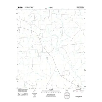
2011 Map of Ravanna
USGS Topo · Published 2011About this map
Ravanna and the aptly named Three States highlight a borderland landscape where the boundaries of Arkansas, Texas, and Louisiana converge. This modern survey illustrates the rural character of the region, defined by a network of drainage systems like Line Creek and State Line Creek that follow the geopolitical divides. Small residential clusters and agricultural crossings are scattered throughout the quadrangle, including the community of Smyrna and the northern settlement of Hammons.
Find a feature on this map
77 named features on this map. Tap any name to fly to it.
Don’t see what you’re looking for? This feature index may not catch every label — zoom into the map to look around manually.
Map Details
Editions of this 2011 Ravanna Map
This is the sole edition of this map. No revisions or reprints were ever made.
Other maps of this area

1907 · Atlanta
USGS Topo · 1:62,500

1910 · Atlanta
USGS Topo · 1:62,500

1932 · Hosston NW
USGS Topo · 1:31,680

1944 · Kildare
USGS Topo · 1:62,500

1948 · Kildare
USGS Topo · 1:62,500

1948 · Vivian
USGS Topo · 1:62,500

1952 · Doddridge NW
USGS Topo · 1:24,000

1952 · Doddridge
USGS Topo · 1:24,000

1953 · Texarkana
USGS Topo · 1:250,000

1953 · El Dorado
USGS Topo · 1:250,000